Transport Functions
Rail
Road
Hub Profile
Place type
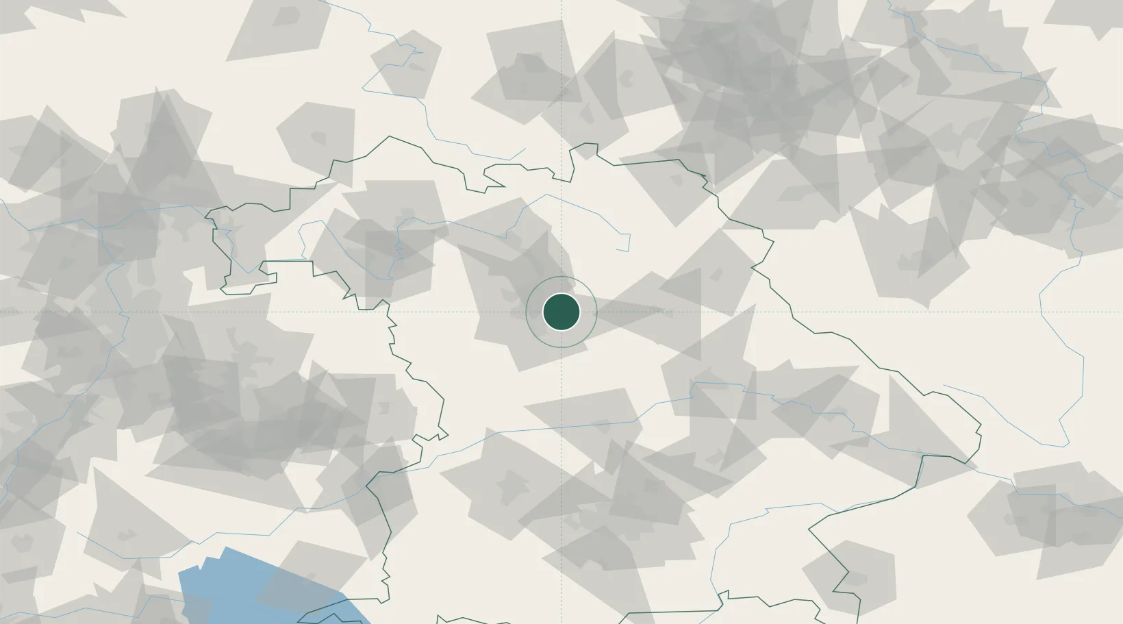
Populated place
Region
Bavaria
Population
8,340
Time zone
Europe/Berlin
Elevation
324 m
Location
Nearby Logistics Neighbours
Cities
- 1Röthenbach an der Pegnitz4 km
- 2Lauf an der Pegnitz8 km
- 3Heroldsberg8 km
- 4Eckental11 km
- 5Nürnberg13 km
Ports
- 1Nogaro438 km
- 2Bremen441 km
- 3Monfalcone446 km
- 4Grado448 km
- 5Oldenburg456 km
Airports
- 1Nuremberg Airport10 km
- 2Hohenfels Army Airfield54 km
- 3Bamberg-Breitenau Airfield55 km
- 4Grafenwöhr Army Air Field59 km
- 5Bayreuth Airport66 km
Trade Zones
- 1Freeport of Deggendorf142 km
- 2Podbořany Industrial Zone179 km
- 3Žatec - Triangle Strategic Industrial Zone196 km
- 4Most - Joseph Industrial Zone208 km
- 5ZFU Neuhof271 km
DatabookThe Record of Consolidated Knowledge
Germany beyond logistics?