Transport Functions
Multimodal
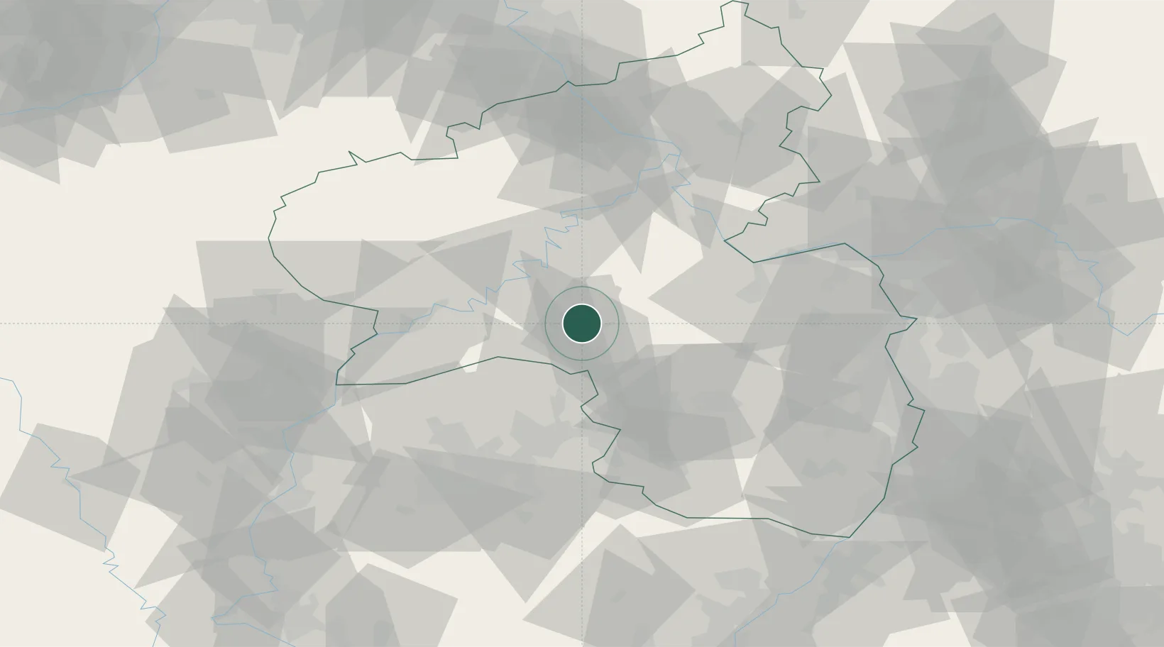
Hub Profile
Place type
Local administrative seat
Region
Rheinland-Pfalz
Population
1,169
Time zone
Europe/Berlin
Elevation
485 m
Location
Nearby Logistics Neighbours
Cities
- 1Niederwörresbach6 km
- 2Herrstein6 km
- 3Hottenbach10 km
- 4Bundenbach13 km
- 5Oberreidenbach17 km
Airports
- 1Frankfurt-Hahn Airport22 km
- 2Ramstein Air Base43 km
- 3Spangdahlem Air Base47 km
- 4Büchel Air Base49 km
- 5Saarbrücken Airport60 km
Trade Zones
- 1ZFU La Cité Behren-lès-Forbach69 km
- 2Luxembourg Free Port75 km
- 3ZFU Woippy-Metz104 km
- 4ZFU Metz107 km
- 5ZFU Hautepierre132 km
DatabookThe Record of Consolidated Knowledge
Germany beyond logistics?