UN/LOCODE hub · Germany
DENWO

Niederwörresbach

49.7667°, 7.3333°
993
Population
2
Transport functions

Transport Functions

Road
Multimodal
UN/LOCODE

Hub Profile

Place type
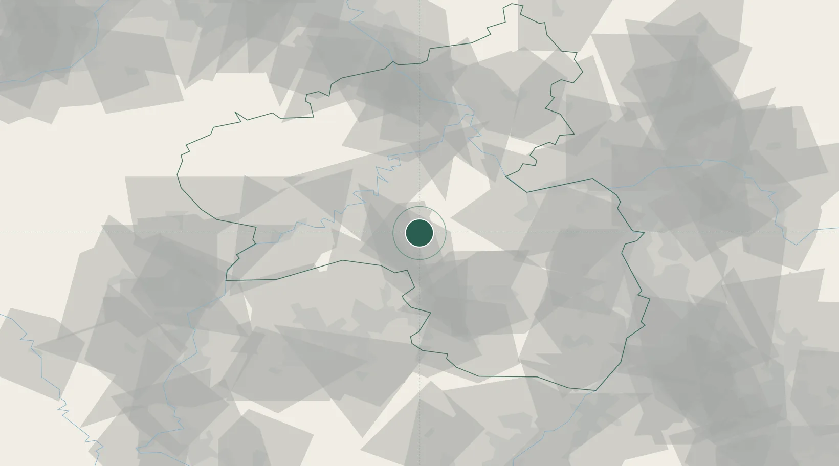
Local administrative seat
GeoNames
Region
Rheinland-Pfalz
GeoNames
Population
993
GeoNames
Time zone
Europe/Berlin
GeoNames
Elevation
325 m
GeoNames

Location

Location of DENWO
Natural Earth 10m (public domain) · Rheinland-Pfalz · DENWO · 49.77, 7.33GoogleOSMYandex

Nearby Logistics Neighbours

Cities
  1. 1Herrstein0 km
  2. 2Kirschweiler6 km
  3. 3Hottenbach8 km
  4. 4Bundenbach8 km
  5. 5Oberreidenbach12 km
Nearest neighbours — logibook spatial index (haversine) over the source coordinates
Ports
  1. 1Bruxelles245 km
  2. 2Antwerpen263 km
  3. 3Ghent293 km
  4. 4Dordrecht296 km
  5. 5Hansweert301 km
Nearest neighbours — logibook spatial index (haversine) over the source coordinates
Airports
  1. 1Frankfurt-Hahn Airport21 km
  2. 2Ramstein Air Base41 km
  3. 3Büchel Air Base49 km
  4. 4Spangdahlem Air Base51 km
  5. 5Mainz-Finthen Airfield63 km
Nearest neighbours — logibook spatial index (haversine) over the source coordinates
Trade Zones
  1. 1ZFU La Cité Behren-lès-Forbach73 km
  2. 2Luxembourg Free Port81 km
  3. 3ZFU Woippy-Metz110 km
  4. 4ZFU Metz112 km
  5. 5ZFU Hautepierre133 km
Nearest neighbours — logibook spatial index (haversine) over the source coordinates
DatabookThe Record of Consolidated Knowledge
Germany beyond logistics?
Browse databook

All Sources

LocationsUN/LOCODE
UN/LOCODE — free
LocationsGeoNames
CC BY 4.0
Portsthe NGA World Port Index
Public domain (US gov)
AirportsOurAirports
Public domain
Trade Zonesthe World Bank SEZ database
CC BY 4.0
Trade ZonesOpen Zone Map
CC BY
← Germany locations