Transport Functions
Port
Road
Hub Profile
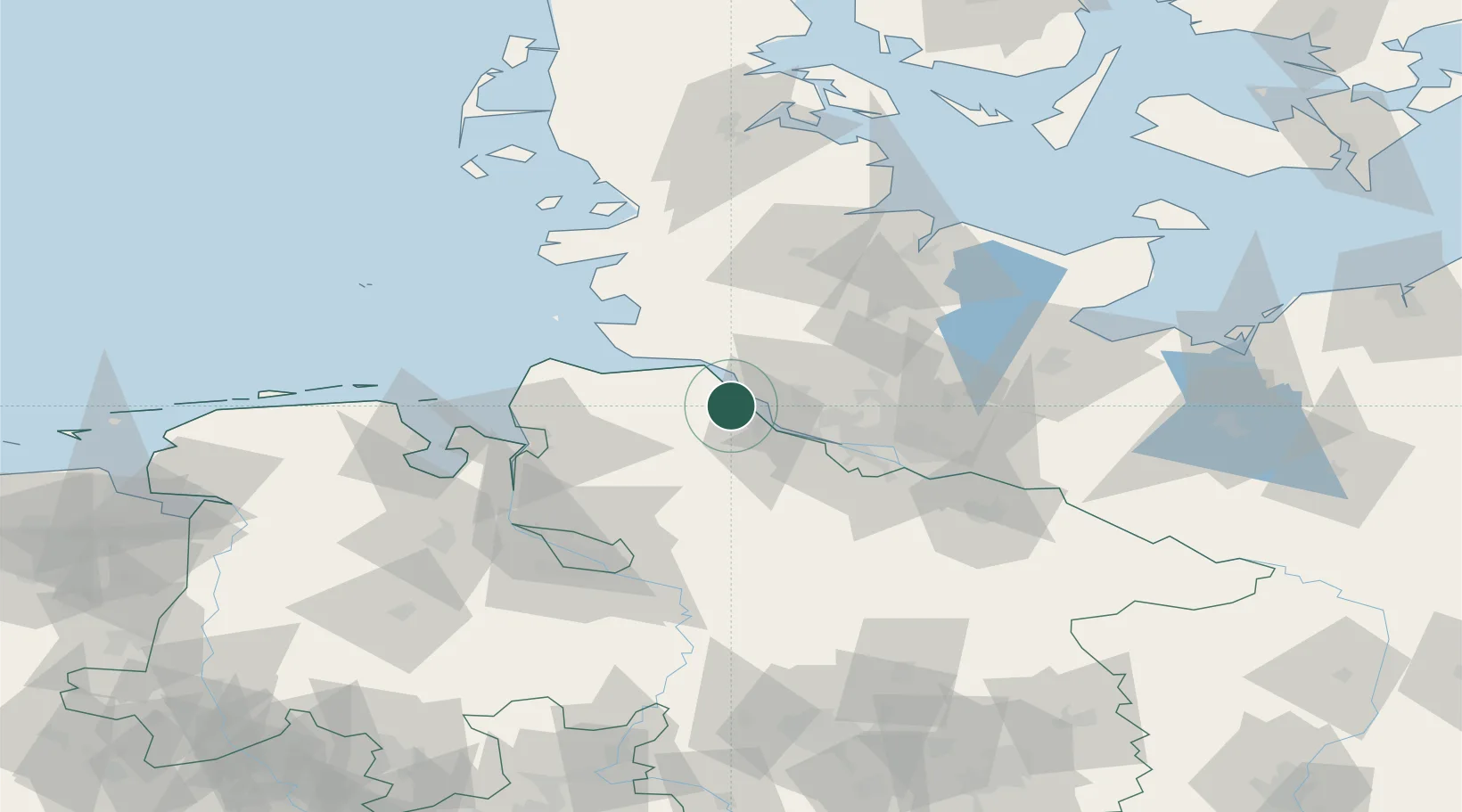
Place type
Local administrative seat
Region
Lower Saxony
Population
12,364
Time zone
Europe/Berlin
Elevation
2 m
Location
Nearby Logistics Neighbours
Cities
- 1Ritsch2 km
- 2Königsmoor4 km
- 3Krautsand6 km
- 4Barnkrug6 km
- 5Neuland/Elbe7 km
Ports
- 1Gluckstadt10 km
- 2Butzfleth10 km
- 3Brunsbuttel Elbahafen25 km
- 4Neuhaus26 km
- 5Itzehoe26 km
Airports
Trade Zones
DatabookThe Record of Consolidated Knowledge
Germany beyond logistics?