UN/LOCODE hub · Germany
DEHQN

Hetlingen

53.6167°, 9.6333°
1,276
Population
1
Transport functions

Transport Functions

Multimodal
UN/LOCODE

Hub Profile

Place type
Local administrative seat
GeoNames
Region
Schleswig-Holstein
GeoNames
Population
1,276
GeoNames
Time zone
Europe/Berlin
GeoNames
Elevation
4 m
GeoNames

Location

Location of DEHQN
Natural Earth 10m (public domain) · Schleswig-Holstein · DEHQN · 53.62, 9.63GoogleOSMYandex

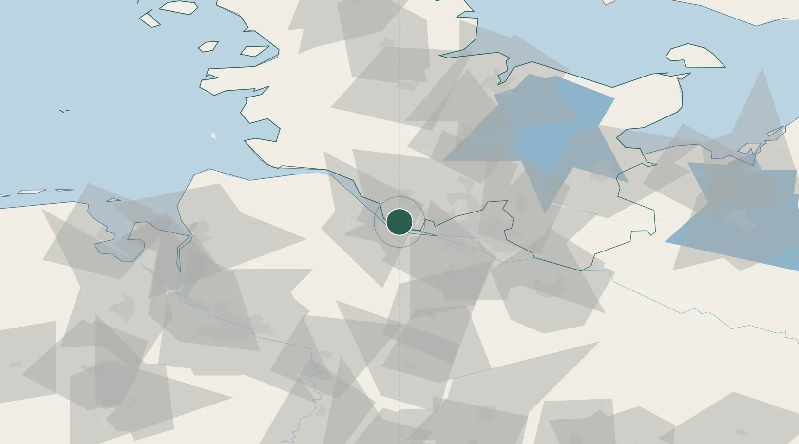
Nearby Logistics Neighbours

Cities
  1. 1Holm (Pinneberg)2 km
  2. 2Haseldorf3 km
  3. 3Steinkirchen (Altes Land)6 km
  4. 4Schulau6 km
  5. 5Stader Sand8 km
Nearest neighbours — logibook spatial index (haversine) over the source coordinates
Ports
  1. 1Butzfleth9 km
  2. 2Hamburg21 km
  3. 3Gluckstadt23 km
  4. 4Itzehoe34 km
  5. 5Brunsbuttel Elbahafen43 km
Nearest neighbours — logibook spatial index (haversine) over the source coordinates
Airports
  1. 1Uetersen-Heist Airfield6 km
  2. 2Hamburg-Finkenwerder Airport16 km
  3. 3Hamburg Helmut Schmidt Airport24 km
  4. 4Sea-Airport Cuxhaven/Nordholz / Nordholz Naval Airbase66 km
  5. 5Lübeck Blankensee Airport75 km
Nearest neighbours — logibook spatial index (haversine) over the source coordinates
Trade Zones
  1. 1Freeport of Cuxhaven (Freihafen Cuxhaven)74 km
  2. 2Freeport of Bremerhaven (Freihafen Bremerhaven)82 km
  3. 3Freeport of Kiel87 km
  4. 4Freeport of Emden165 km
  5. 5Freeport of Copenhagen- Nordhavn301 km
Nearest neighbours — logibook spatial index (haversine) over the source coordinates
DatabookThe Record of Consolidated Knowledge
Germany beyond logistics?
Browse databook

All Sources

LocationsUN/LOCODE
UN/LOCODE — free
LocationsGeoNames
CC BY 4.0
Portsthe NGA World Port Index
Public domain (US gov)
AirportsOurAirports
Public domain
Trade Zonesthe World Bank SEZ database
CC BY 4.0
Trade ZonesOpen Zone Map
CC BY
← Germany locations