Transport Functions
Multimodal
Hub Profile
Place type
Local administrative seat
Region
Lower Saxony
Population
2,428
Time zone
Europe/Berlin
Elevation
156 m
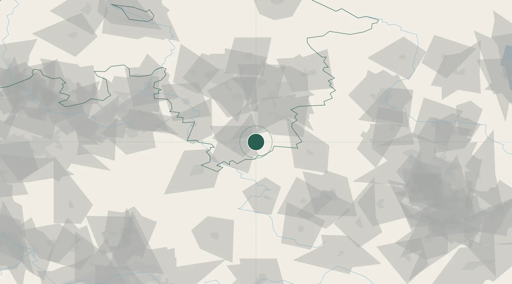
Location
Nearby Logistics Neighbours
Cities
- 1Katlenburg-Duhm7 km
- 2Katlenburg-Lindau7 km
- 3Osterode am Harz11 km
- 4Northeim14 km
- 5Lütgenrode17 km
Airports
- 1Kassel Airport59 km
- 2Eisenach-Kindel Airport75 km
- 3Braunschweig-Wolfsburg Airport81 km
- 4Fritzlar Army Airfield84 km
- 5Erfurt-Weimar Airport91 km
Trade Zones
DatabookThe Record of Consolidated Knowledge
Germany beyond logistics?