Transport Functions
Rail
Road
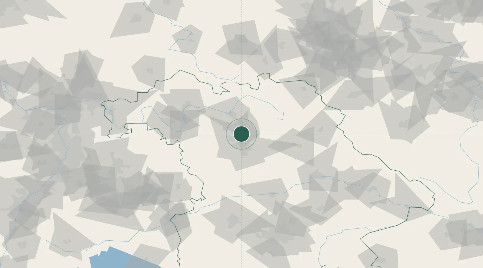
Hub Profile
Place type
Local administrative seat
Region
Bavaria
Population
4,516
Time zone
Europe/Berlin
Elevation
281 m
Location
Nearby Logistics Neighbours
Cities
- 1Effeltrich6 km
- 2Kosbach7 km
- 3Frauenaurach8 km
- 4Zeckern10 km
- 5Grossenseebach10 km
Airports
- 1Nuremberg Airport16 km
- 2Bamberg-Breitenau Airfield33 km
- 3Bayreuth Airport59 km
- 4Grafenwöhr Army Air Field67 km
- 5Hohenfels Army Airfield75 km
Trade Zones
- 1Freeport of Deggendorf163 km
- 2Podbořany Industrial Zone183 km
- 3Žatec - Triangle Strategic Industrial Zone198 km
- 4Most - Joseph Industrial Zone210 km
- 5ZFU Neuhof266 km
DatabookThe Record of Consolidated Knowledge
Germany beyond logistics?