Transport Functions
Multimodal
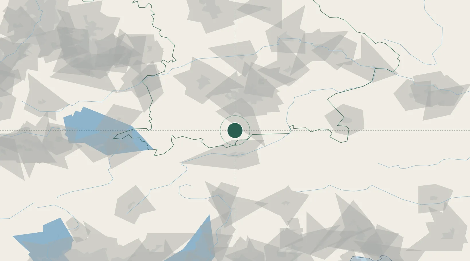
Hub Profile
Region
BY
Location
Nearby Logistics Neighbours
Cities
- 1Iffeldorf14 km
- 2Obersöchering15 km
- 3Eschenlohe15 km
- 4Huglfing20 km
- 5Seeshaupt21 km
Ports
- 1Nogaro251 km
- 2Porto Di Lido-Venezia261 km
- 3Grado262 km
- 4Monfalcone266 km
- 5Porto Di Chioggia278 km
Airports
- 1Innsbruck Airport43 km
- 2Oberpfaffenhofen Airport48 km
- 3Lechfeld Air Base71 km
- 4Altstetten Ultralight Field73 km
- 5Munich Airport84 km
Trade Zones
DatabookThe Record of Consolidated Knowledge
Germany beyond logistics?