Transport Functions
Rail
Road
Hub Profile
Place type
Populated place
Region
Lower Saxony
Time zone
Europe/Berlin
Elevation
102 m
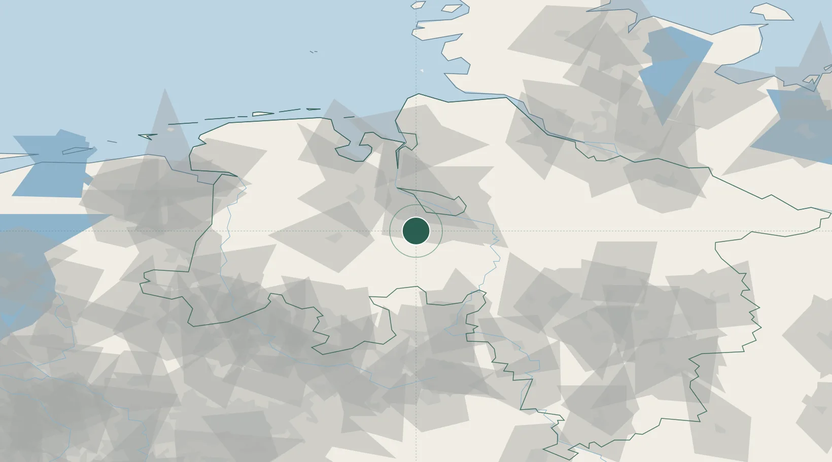
Location
Nearby Logistics Neighbours
Cities
- 1Harpstedt4 km
- 2Gross Ippener6 km
- 3Bassum10 km
- 4Brettorf13 km
- 5Ganderkesee15 km
Airports
- 1Bremen Airport18 km
- 2Diepholz Air Base42 km
- 3Wunstorf Air Base74 km
- 4Bückeburg Air Base77 km
- 5Hannover Airport87 km
Trade Zones
DatabookThe Record of Consolidated Knowledge
Germany beyond logistics?