UN/LOCODE hub · Germany
DEWIN

Winsen/Luhe

53.3407°, 10.2349°
2
Transport functions

Transport Functions

Rail
Road
UN/LOCODE

Hub Profile

Region
NI
GeoNames
Logistics facilities
1
UN/LOCODE

Location

Location of DEWIN
Natural Earth 10m (public domain) · NI · DEWIN · 53.34, 10.23GoogleOSMYandex

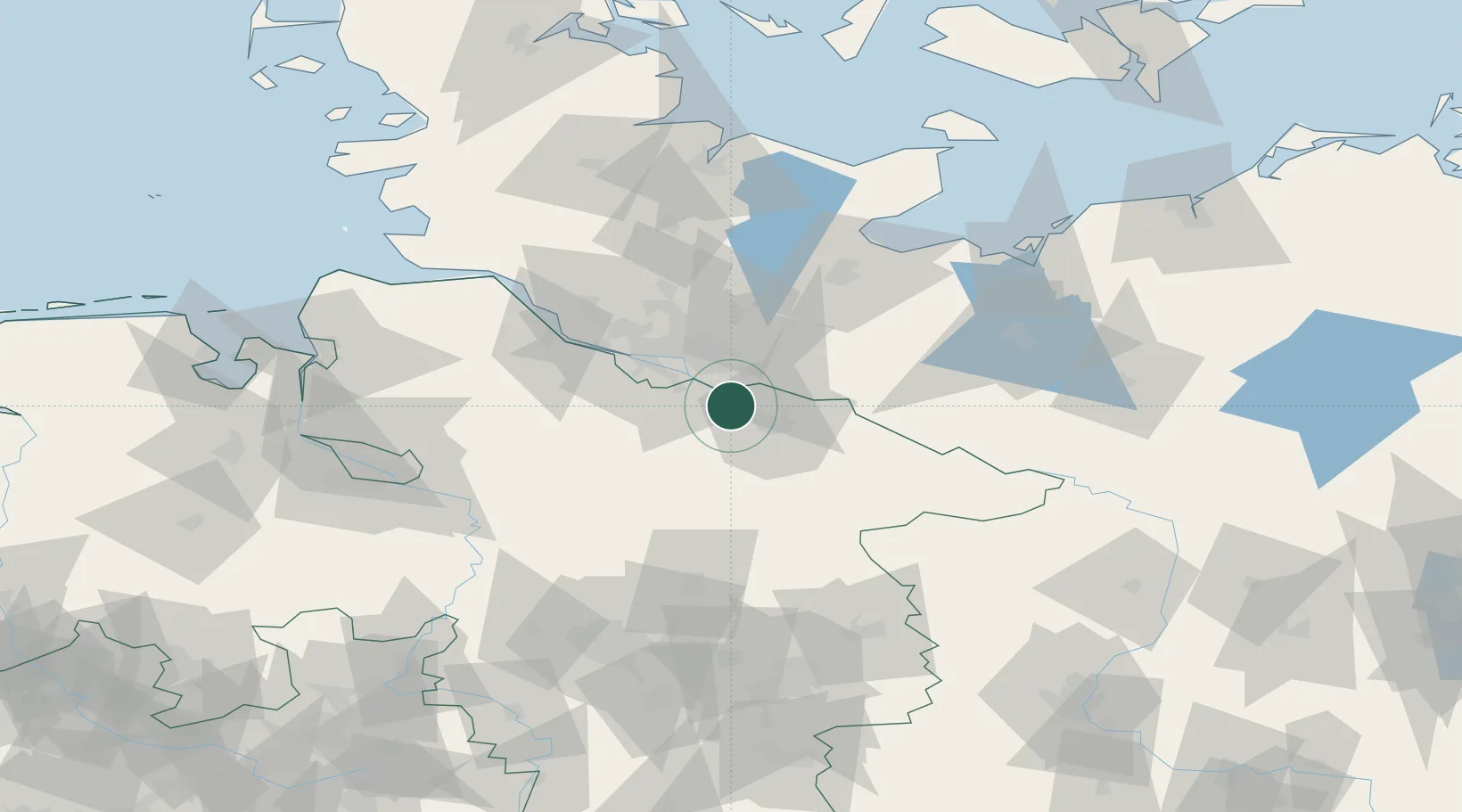
Nearby Logistics Neighbours

Cities
  1. 1Radbruch4 km
  2. 2Hoopte8 km
  3. 3Mechtersen8 km
  4. 4Drage9 km
  5. 5Stelle9 km
Nearest neighbours — logibook spatial index (haversine) over the source coordinates
Ports
  1. 1Hamburg31 km
  2. 2Butzfleth59 km
  3. 3Lubeck68 km
  4. 4Gluckstadt73 km
  5. 5Itzehoe80 km
Nearest neighbours — logibook spatial index (haversine) over the source coordinates
Airports
  1. 1Hamburg-Finkenwerder Airport34 km
  2. 2Hamburg Helmut Schmidt Airport36 km
  3. 3Faßberg Air Base47 km
  4. 4Uetersen-Heist Airfield49 km
  5. 5Lübeck Blankensee Airport61 km
Nearest neighbours — logibook spatial index (haversine) over the source coordinates
Trade Zones
  1. 1Freeport of Bremerhaven (Freihafen Bremerhaven)101 km
  2. 2Freeport of Kiel111 km
  3. 3Freeport of Cuxhaven (Freihafen Cuxhaven)123 km
  4. 4Freeport of Emden202 km
  5. 5Swinoujscie Duty Free Zone274 km
Nearest neighbours — logibook spatial index (haversine) over the source coordinates
DatabookThe Record of Consolidated Knowledge
Germany beyond logistics?
Browse databook

All Sources

LocationsUN/LOCODE
UN/LOCODE — free
Portsthe NGA World Port Index
Public domain (US gov)
AirportsOurAirports
Public domain
Trade Zonesthe World Bank SEZ database
CC BY 4.0
Trade ZonesOpen Zone Map
CC BY
← Germany locations