Transport Functions
Port
Road
Hub Profile
Place type
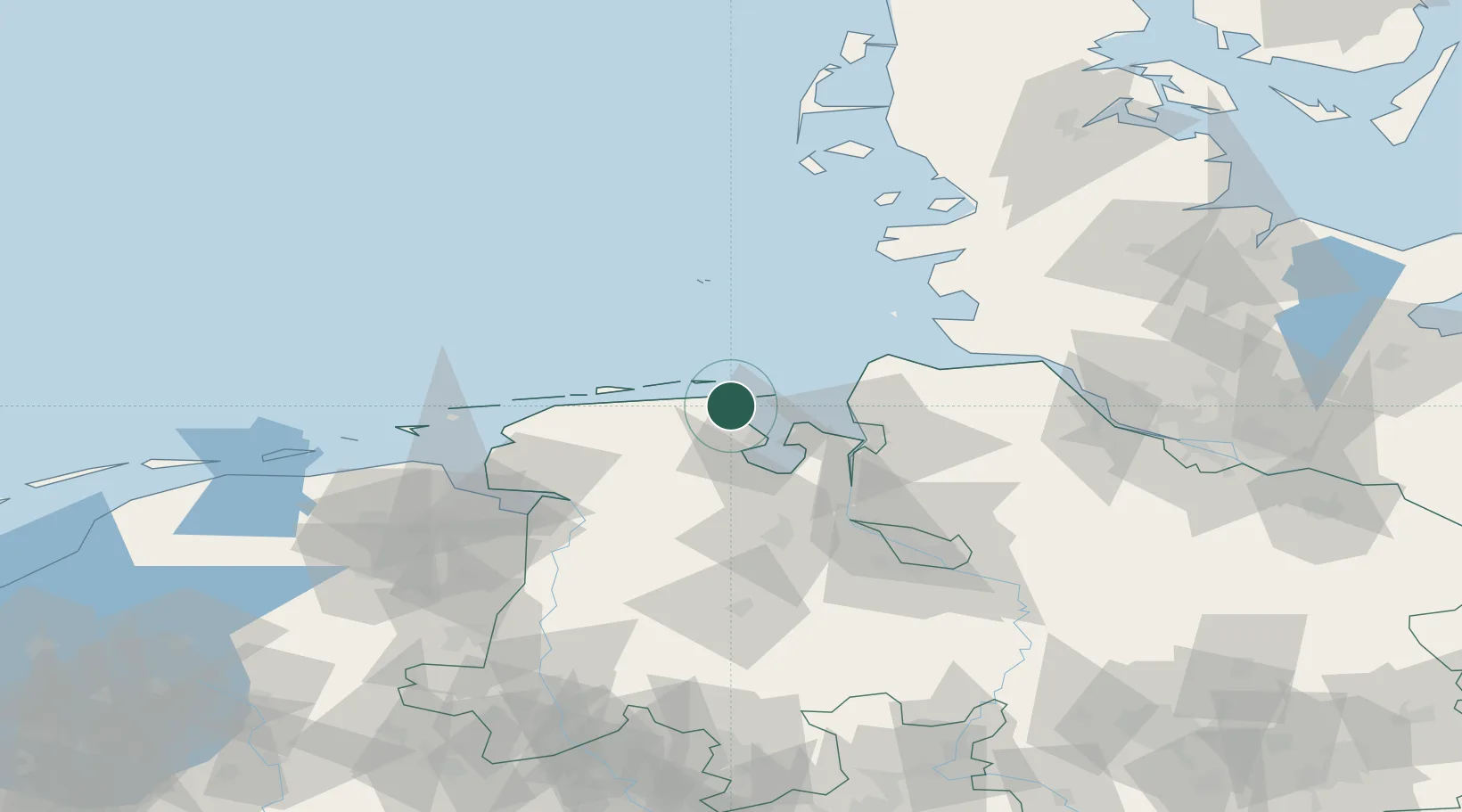
Populated place
Region
Lower Saxony
Time zone
Europe/Berlin
Elevation
2 m
Location
Nearby Logistics Neighbours
Cities
- 1Minsen4 km
- 2Hooksiel6 km
- 3Wilhelmshaven14 km
- 4Carolinensiel14 km
- 5Harlesiel14 km
Ports
- 1Wilhelmshaven19 km
- 2Nordenham38 km
- 3Bremerhaven41 km
- 4Brake50 km
- 5Cuxhaven50 km
Airports
Trade Zones
DatabookThe Record of Consolidated Knowledge
Germany beyond logistics?