UN/LOCODE hub · Germany
DEWVN
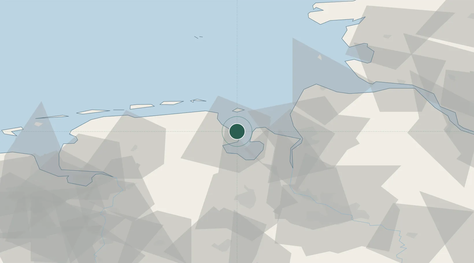
Wilhelmshaven
53.5911°, 8.1503°
84,393
Population
4
Transport functions
1
Container terminals
Transport Functions
Port
Rail
Road
Airport
Hub Profile
Place type
District seat
Region
Lower Saxony
Population
84,393
Time zone
Europe/Berlin
Elevation
2 m
Logistics facilities
2
Container terminals
1
Location
Nearby Logistics Neighbours
Cities
- 1Tossens9 km
- 2Hooksiel10 km
- 3Mariensiel12 km
- 4Horumersiel14 km
- 5Butjadingen14 km
Ports
- 1Nordenham25 km
- 2Bremerhaven29 km
- 3Brake36 km
- 4Elsfleth45 km
- 5Cuxhaven48 km
Airports
Trade Zones
DatabookThe Record of Consolidated Knowledge
Germany beyond logistics?