Transport Functions
Multimodal
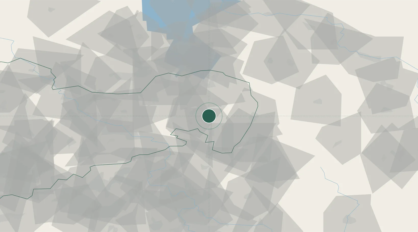
Hub Profile
Place type
Local administrative seat
Region
Saxony
Population
2,525
Time zone
Europe/Berlin
Elevation
289 m
Location
Nearby Logistics Neighbours
Cities
- 1Weissenberg8 km
- 2Cunewalde8 km
- 3Niederkaina9 km
- 4Grosspostwitz10 km
- 5Malschwitz10 km
Ports
- 1Szczecin252 km
- 2Police269 km
- 3Swinoujscie308 km
- 4Wolgast327 km
- 5Kolobrzeg347 km
Airports
- 1Rothenburg/Görlitz Airfield35 km
- 2Dresden Airport57 km
- 3Vodochody Airport105 km
- 4Kostomlaty Airstrip107 km
- 5Prague–Kbely Air Base114 km
Trade Zones
DatabookThe Record of Consolidated Knowledge
Germany beyond logistics?