Transport Functions
Rail
Road
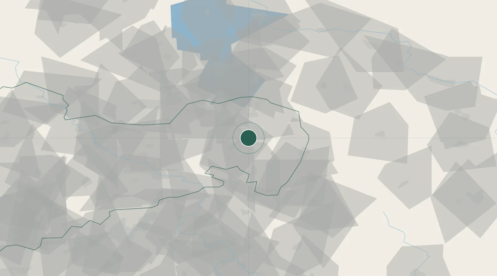
Hub Profile
Place type
Populated place
Region
Saxony
Population
1,736
Time zone
Europe/Berlin
Elevation
145 m
Location
Nearby Logistics Neighbours
Cities
- 1Malschwitz4 km
- 2Grossdubrau7 km
- 3Niederkaina8 km
- 4Weissenberg9 km
- 5Hochkirch11 km
Ports
- 1Szczecin241 km
- 2Police258 km
- 3Swinoujscie297 km
- 4Wolgast316 km
- 5Kolobrzeg336 km
Airports
- 1Rothenburg/Görlitz Airfield30 km
- 2Dresden Airport57 km
- 3Holzdorf Air Base113 km
- 4Vodochody Airport116 km
- 5Kostomlaty Airstrip119 km
Trade Zones
DatabookThe Record of Consolidated Knowledge
Germany beyond logistics?