UN/LOCODE hub · Germany
DEBFM
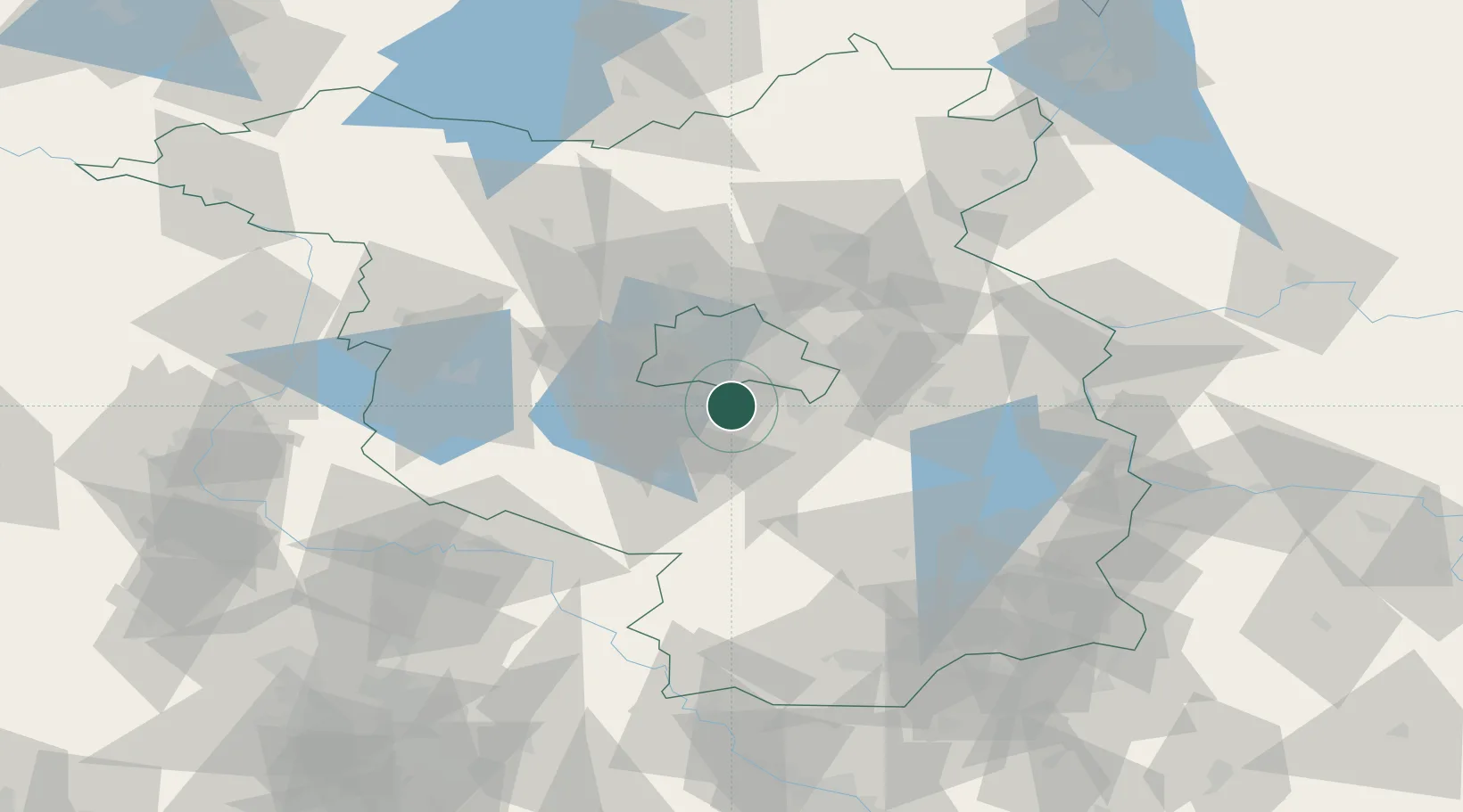
Blankenfelde-Mahlow
52.3333°, 13.4000°
29,129
Population
2
Transport functions
Transport Functions
Rail
Road
Hub Profile
Place type
Local administrative seat
Region
Brandenburg
Population
29,129
Time zone
Europe/Berlin
Elevation
43 m
Location
Nearby Logistics Neighbours
Cities
- 1Mahlow4 km
- 2Gross Kienitz5 km
- 3Rangsdorf6 km
- 4Grossbeeren8 km
- 5Berlin-Schönefeld Apt10 km
Ports
- 1Szczecin143 km
- 2Police158 km
- 3Swinoujscie185 km
- 4Wolgast193 km
- 5Rostock214 km
Airports
- 1Berlin Brandenburg Airport8 km
- 2Holzdorf Air Base65 km
- 3Zerbst Airfield93 km
- 4Leipzig/Halle Airport129 km
- 5Dresden Airport136 km
Trade Zones
- 1Kostrzyń-Słubice SEZ89 km
- 2Szczecin Duty Free Zone144 km
- 3Swinoujscie Duty Free Zone183 km
- 4Most - Joseph Industrial Zone206 km
- 5Legnica SEZ (Legnicka SSE)210 km
DatabookThe Record of Consolidated Knowledge
Germany beyond logistics?