Transport Functions
Multimodal
Hub Profile
Place type
Local administrative seat
Region
Thuringia
Population
2,255
Time zone
Europe/Berlin
Elevation
471 m
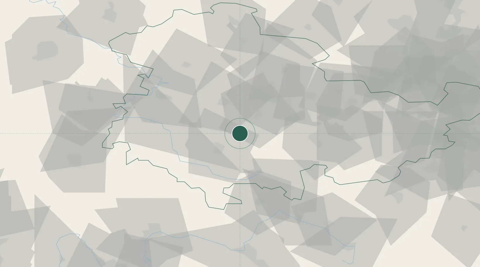
Location
Nearby Logistics Neighbours
Cities
- 1Gräfenroda3 km
- 2Elgersburg4 km
- 3Wümbach12 km
- 4Langewiesen13 km
- 5Arnstadt14 km
Airports
- 1Erfurt-Weimar Airport29 km
- 2Eisenach-Kindel Airport38 km
- 3Hof-Plauen Airport87 km
- 4Bamberg-Breitenau Airfield91 km
- 5Bayreuth Airport101 km
Trade Zones
DatabookThe Record of Consolidated Knowledge
Germany beyond logistics?