Transport Functions
Road
Multimodal
Hub Profile
Place type
Populated place
Region
Rheinland-Pfalz
Time zone
Europe/Berlin
Elevation
216 m
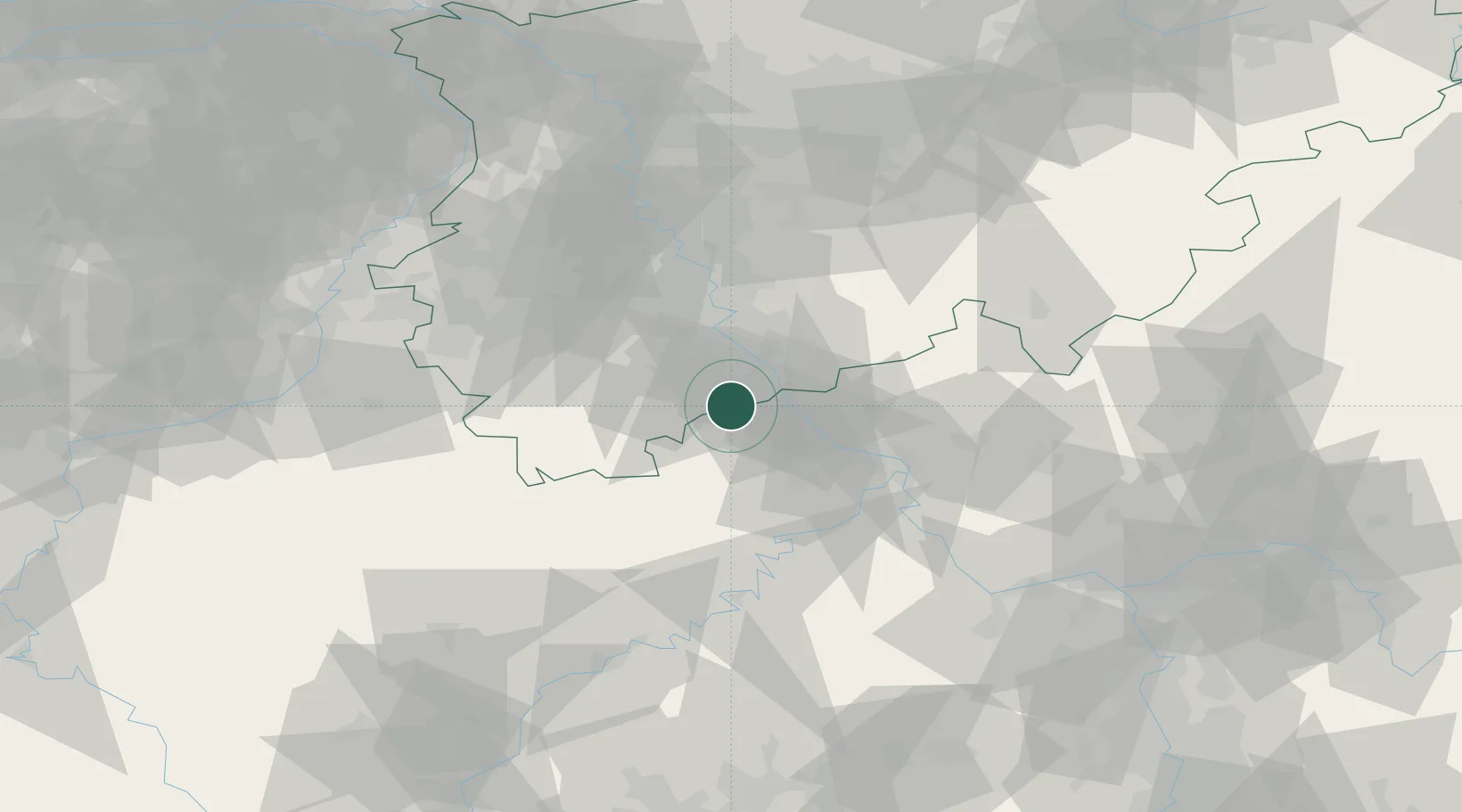
Location
Nearby Logistics Neighbours
Cities
- 1Grafschaft2 km
- 2Fritzdorf5 km
- 3Dernau6 km
- 4Rech7 km
- 5Oberwinter12 km
Airports
- 1Cologne Bonn Airport32 km
- 2Nörvenich Air Base38 km
- 3Büchel Air Base46 km
- 4Spangdahlem Air Base72 km
- 5Frankfurt-Hahn Airport73 km
Trade Zones
- 1Rheinische Revier SWZ59 km
- 2Freeport of Duisburg101 km
- 3Luxembourg Free Port120 km
- 4ZFU La Cité Behren-lès-Forbach158 km
- 5ZFU Woippy-Metz171 km
DatabookThe Record of Consolidated Knowledge
Germany beyond logistics?