Transport Functions
Rail
Road
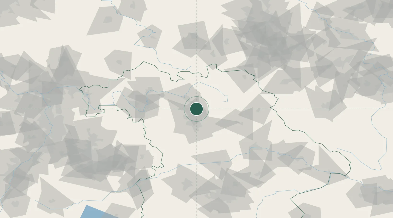
Hub Profile
Place type
District seat
Region
Bavaria
Population
30,442
Time zone
Europe/Berlin
Elevation
261 m
Location
Nearby Logistics Neighbours
Cities
- 1Eggolsheim6 km
- 2Pautzfeld7 km
- 3Buttenheim8 km
- 4Effeltrich8 km
- 5Hallerndorf8 km
Airports
- 1Nuremberg Airport24 km
- 2Bamberg-Breitenau Airfield25 km
- 3Bayreuth Airport51 km
- 4Grafenwöhr Army Air Field63 km
- 5Hohenfels Army Airfield79 km
Trade Zones
- 1Freeport of Deggendorf165 km
- 2Podbořany Industrial Zone177 km
- 3Žatec - Triangle Strategic Industrial Zone191 km
- 4Most - Joseph Industrial Zone203 km
- 5ZFU Neuhof274 km
DatabookThe Record of Consolidated Knowledge
Germany beyond logistics?