Transport Functions
Port
Rail
Road
Hub Profile
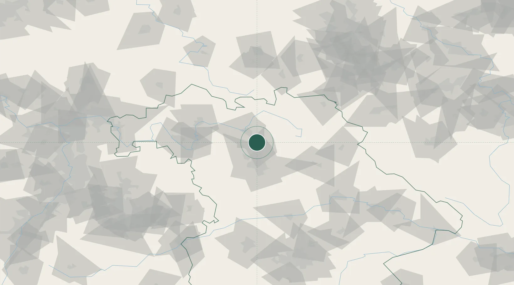
Place type
Populated place
Region
Bavaria
Time zone
Europe/Berlin
Elevation
257 m
Location
Nearby Logistics Neighbours
Cities
- 1Buttenheim2 km
- 2Altendorf2 km
- 3Eggolsheim2 km
- 4Hallerndorf2 km
- 5Forchheim7 km
Airports
- 1Bamberg-Breitenau Airfield19 km
- 2Nuremberg Airport30 km
- 3Bayreuth Airport51 km
- 4Grafenwöhr Army Air Field67 km
- 5Hof-Plauen Airport83 km
Trade Zones
- 1Freeport of Deggendorf171 km
- 2Podbořany Industrial Zone178 km
- 3Žatec - Triangle Strategic Industrial Zone192 km
- 4Most - Joseph Industrial Zone204 km
- 5ZFU Neuhof273 km
DatabookThe Record of Consolidated Knowledge
Germany beyond logistics?