Transport Functions
Multimodal
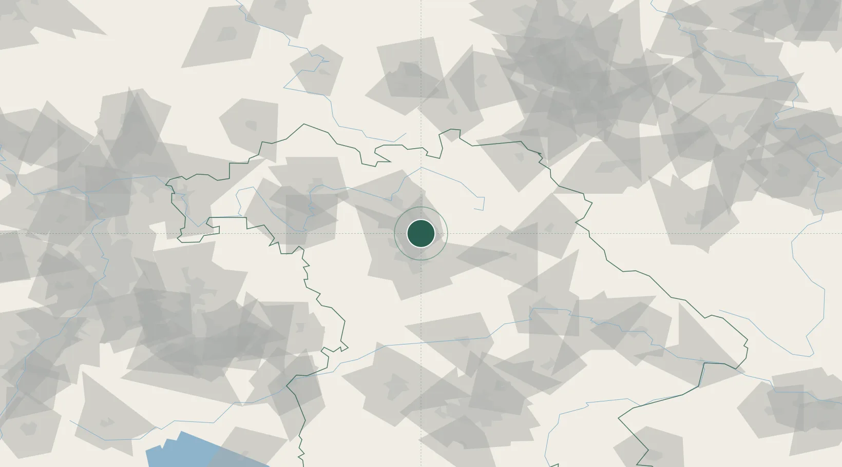
Hub Profile
Place type
Local administrative seat
Region
Bavaria
Population
2,771
Time zone
Europe/Berlin
Elevation
301 m
Location
Nearby Logistics Neighbours
Cities
- 1Bubenreuth6 km
- 2Forchheim8 km
- 3Eckental11 km
- 4Zeckern13 km
- 5Kosbach13 km
Airports
- 1Nuremberg Airport17 km
- 2Bamberg-Breitenau Airfield33 km
- 3Bayreuth Airport54 km
- 4Grafenwöhr Army Air Field61 km
- 5Hohenfels Army Airfield72 km
Trade Zones
- 1Freeport of Deggendorf158 km
- 2Podbořany Industrial Zone177 km
- 3Žatec - Triangle Strategic Industrial Zone192 km
- 4Most - Joseph Industrial Zone204 km
- 5ZFU Neuhof272 km
DatabookThe Record of Consolidated Knowledge
Germany beyond logistics?