Transport Functions
Port
Rail
Road
Hub Profile
Place type
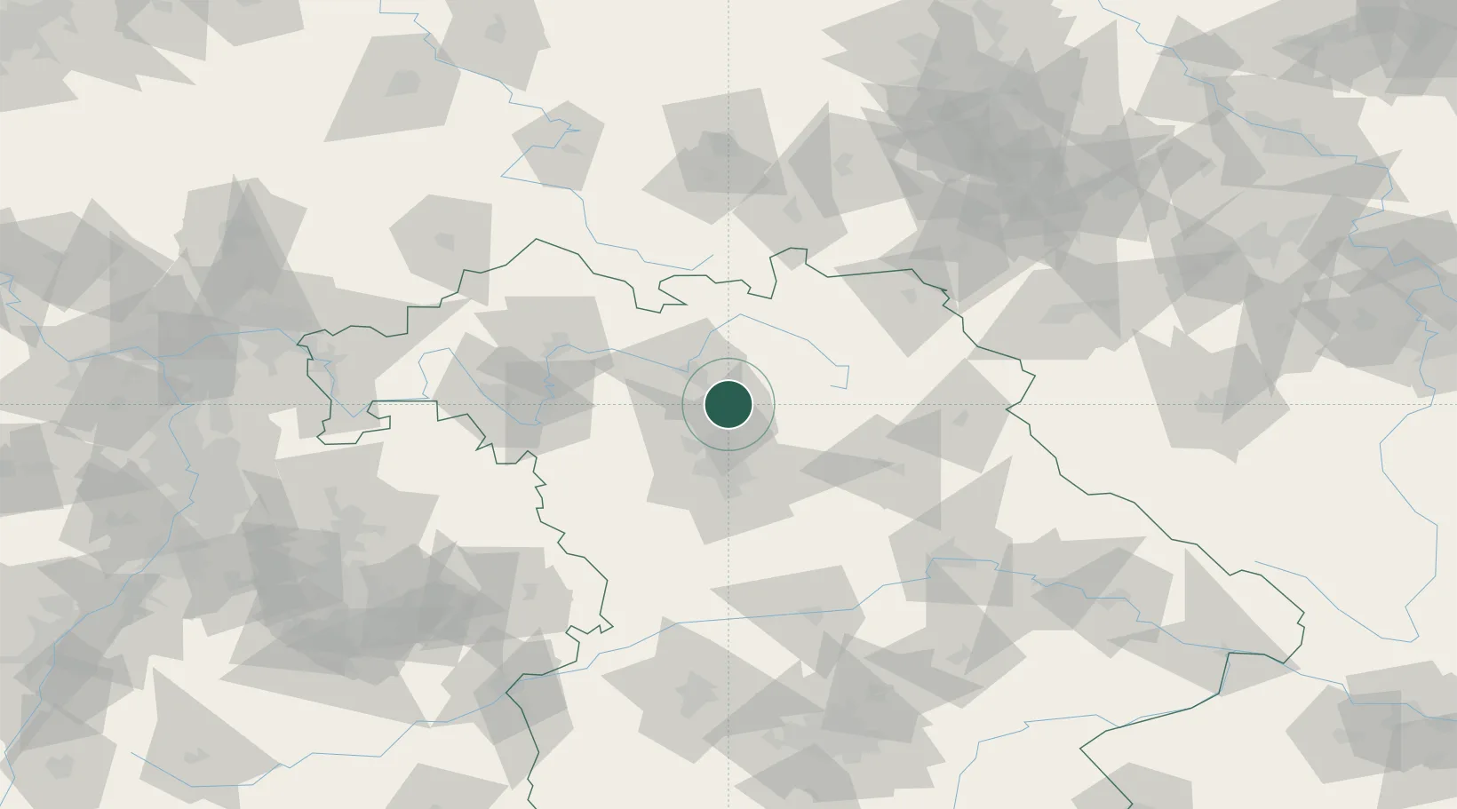
Populated place
Region
Bavaria
Population
6,313
Time zone
Europe/Berlin
Elevation
263 m
Location
Nearby Logistics Neighbours
Cities
- 1Buttenheim2 km
- 2Pautzfeld2 km
- 3Altendorf4 km
- 4Hallerndorf5 km
- 5Forchheim6 km
Airports
- 1Bamberg-Breitenau Airfield20 km
- 2Nuremberg Airport30 km
- 3Bayreuth Airport49 km
- 4Grafenwöhr Army Air Field64 km
- 5Hof-Plauen Airport82 km
Trade Zones
- 1Freeport of Deggendorf169 km
- 2Podbořany Industrial Zone176 km
- 3Žatec - Triangle Strategic Industrial Zone190 km
- 4Most - Joseph Industrial Zone201 km
- 5ZFU Neuhof275 km
DatabookThe Record of Consolidated Knowledge
Germany beyond logistics?