Transport Functions
Rail
Road
Multimodal
Hub Profile
Region
SN
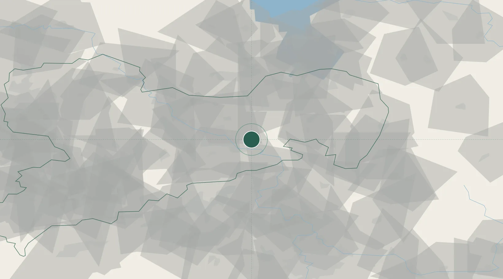
Location
Nearby Logistics Neighbours
Cities
- 1Porschendorf2 km
- 2Fischbach6 km
- 3Copitz9 km
- 4Heidenau11 km
- 5Laubegast12 km
Ports
- 1Szczecin268 km
- 2Police284 km
- 3Swinoujscie321 km
- 4Wolgast336 km
- 5Wismar362 km
Airports
- 1Dresden Airport20 km
- 2Rothenburg/Görlitz Airfield76 km
- 3Vodochody Airport95 km
- 4Holzdorf Air Base100 km
- 5Leipzig–Altenburg Airport105 km
Trade Zones
DatabookThe Record of Consolidated Knowledge
Germany beyond logistics?