Transport Functions
Rail
Road
Hub Profile
Place type
Populated place
Region
Lower Saxony
Population
24,448
Time zone
Europe/Berlin
Elevation
37 m
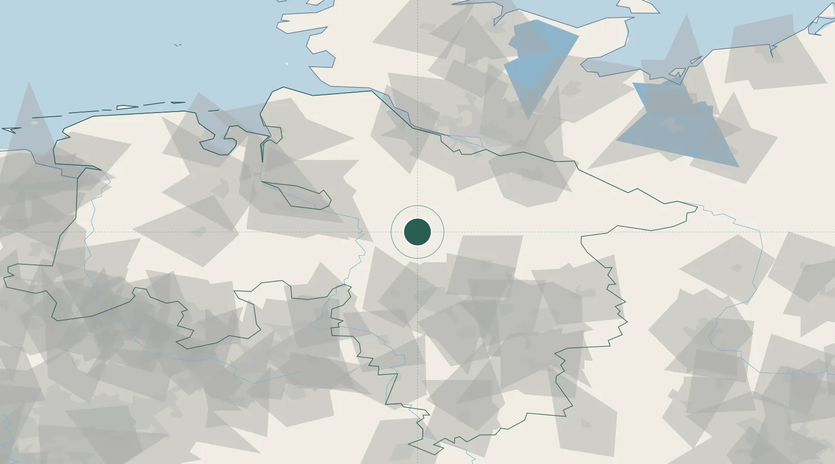
Location
Nearby Logistics Neighbours
Cities
- 1Bad Fallingbostel7 km
- 2Ahlden12 km
- 3Visselhövede13 km
- 4Häuslingen16 km
- 5Rethem17 km
Airports
- 1Faßberg Air Base40 km
- 2Celle Army Airfield42 km
- 3Hannover Airport46 km
- 4Wunstorf Air Base47 km
- 5Bremen Airport58 km
Trade Zones
DatabookThe Record of Consolidated Knowledge
Germany beyond logistics?