Transport Functions
Port
Multimodal
Hub Profile
Place type
Local administrative seat
Region
Bavaria
Population
814
Time zone
Europe/Berlin
Elevation
903 m
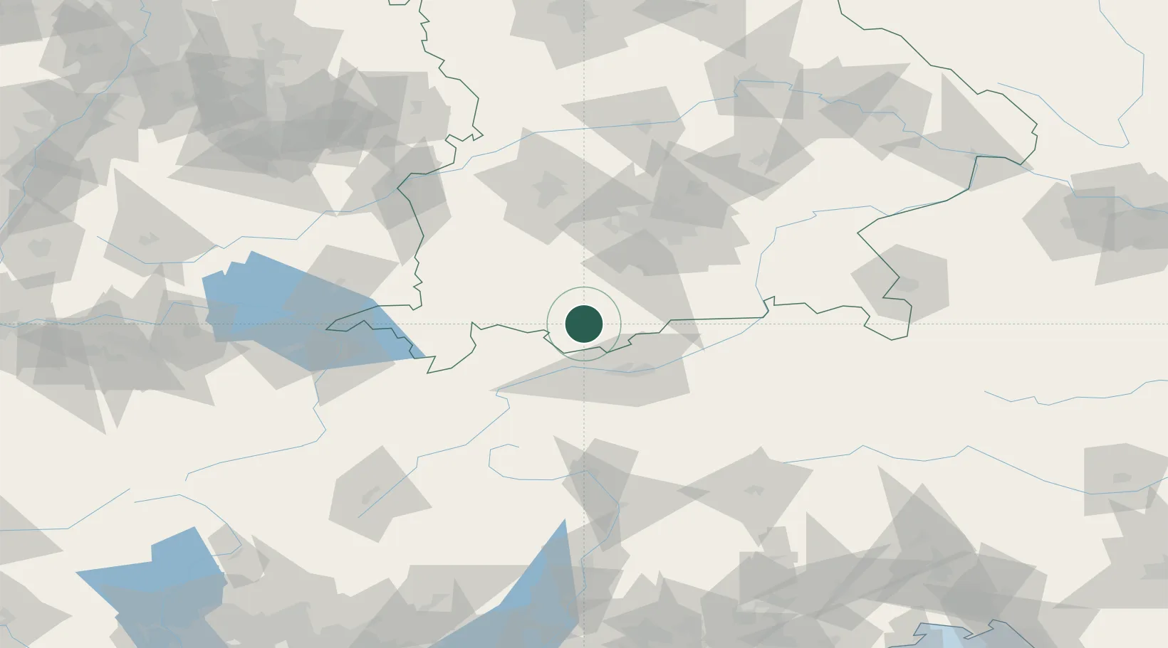
Location
Nearby Logistics Neighbours
Cities
- 1Eschenlohe7 km
- 2Grainau11 km
- 3Wildsteig19 km
- 4Obersöchering21 km
- 5Kochel am See22 km
Ports
- 1Nogaro256 km
- 2Porto Di Lido-Venezia260 km
- 3Grado267 km
- 4Monfalcone273 km
- 5Porto Di Chioggia275 km
Airports
- 1Innsbruck Airport39 km
- 2Oberpfaffenhofen Airport59 km
- 3Lechfeld Air Base71 km
- 4Memmingen Allgau Airport80 km
- 5Altstetten Ultralight Field83 km
Trade Zones
DatabookThe Record of Consolidated Knowledge
Germany beyond logistics?