Transport Functions
Rail
Road
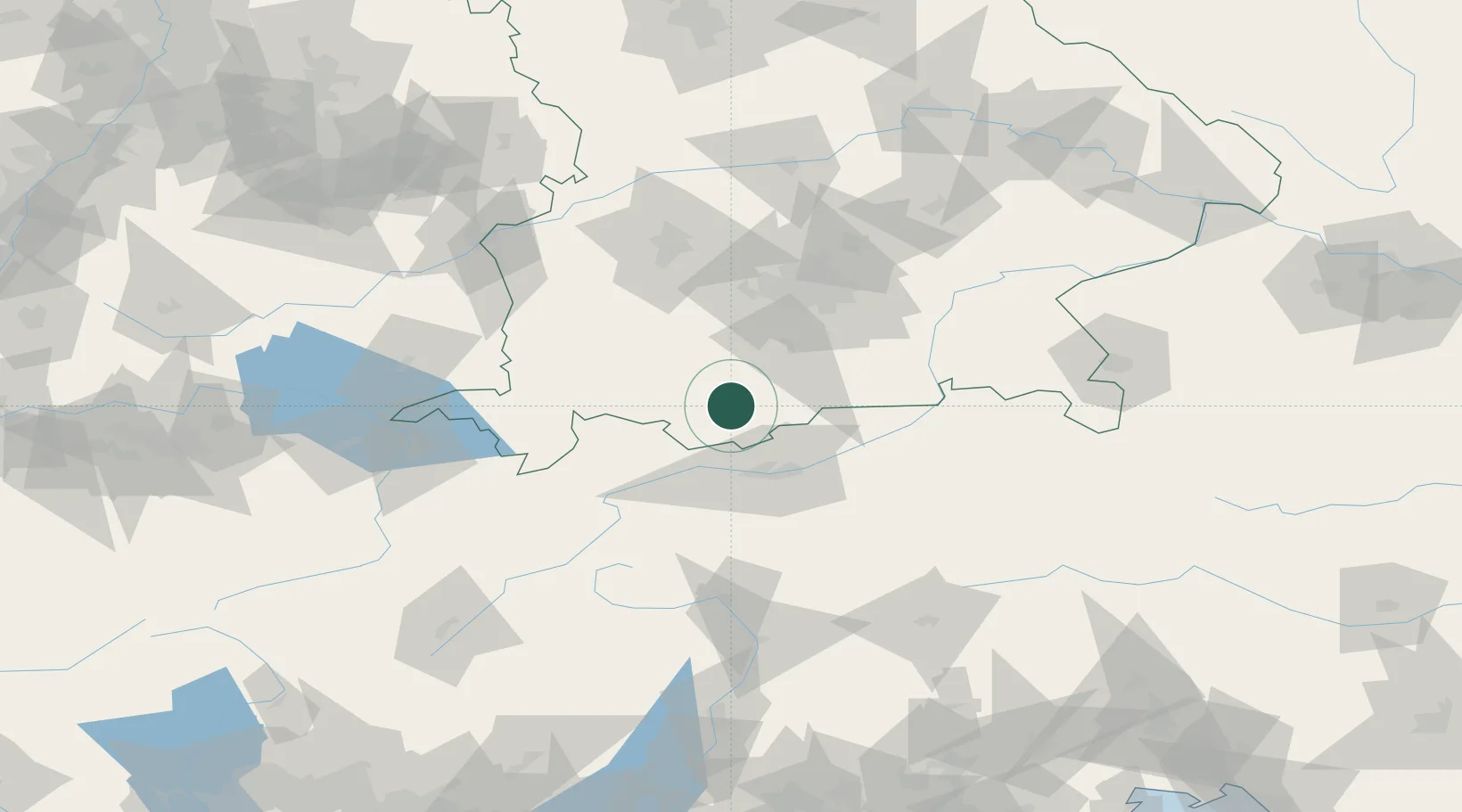
Hub Profile
Place type
Local administrative seat
Region
Bavaria
Time zone
Europe/Berlin
Elevation
637 m
Location
Nearby Logistics Neighbours
Cities
- 1Ettal7 km
- 2Kochel am See15 km
- 3Obersöchering15 km
- 4Grainau18 km
- 5Huglfing19 km
Ports
- 1Nogaro255 km
- 2Porto Di Lido-Venezia261 km
- 3Grado266 km
- 4Monfalcone271 km
- 5Porto Di Chioggia277 km
Airports
- 1Innsbruck Airport40 km
- 2Oberpfaffenhofen Airport54 km
- 3Lechfeld Air Base69 km
- 4Altstetten Ultralight Field79 km
- 5Memmingen Allgau Airport83 km
Trade Zones
DatabookThe Record of Consolidated Knowledge
Germany beyond logistics?