Transport Functions
Multimodal
Hub Profile
Place type
Local administrative seat
Region
Bavaria
Population
3,674
Time zone
Europe/Berlin
Elevation
749 m
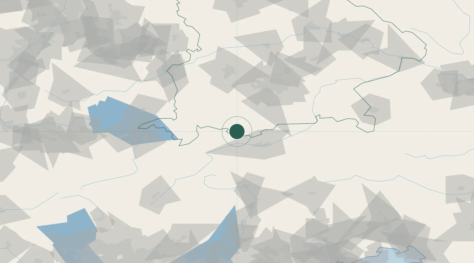
Location
Nearby Logistics Neighbours
Cities
- 1Ettal11 km
- 2Eschenlohe18 km
- 3Rietz22 km
- 4Hohenschwangau23 km
- 5Lechaschau24 km
Ports
- 1Nogaro252 km
- 2Porto Di Lido-Venezia254 km
- 3Grado264 km
- 4Porto Di Chioggia269 km
- 5Monfalcone270 km
Airports
- 1Innsbruck Airport35 km
- 2Oberpfaffenhofen Airport69 km
- 3Lechfeld Air Base79 km
- 4Memmingen Allgau Airport81 km
- 5Altstetten Ultralight Field94 km
Trade Zones
DatabookThe Record of Consolidated Knowledge
Germany beyond logistics?