Transport Functions
Port
Road
Hub Profile
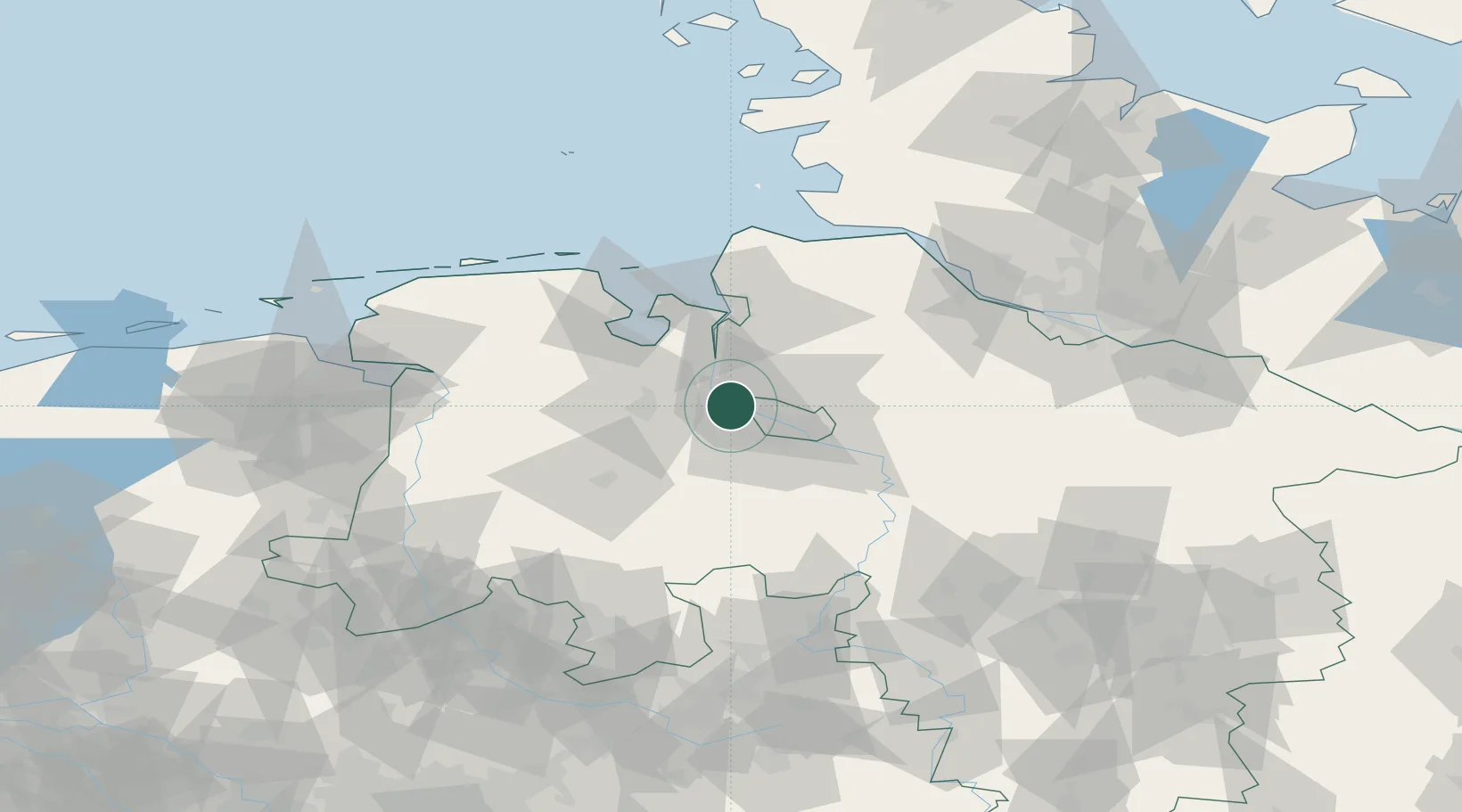
Place type
Populated place
Region
Lower Saxony
Time zone
Europe/Berlin
Elevation
1 m
Location
Nearby Logistics Neighbours
Cities
- 1Blumenthal/Bremen2 km
- 2Lemwerder3 km
- 3Mittelsbüren8 km
- 4Elsfleth10 km
- 5Oslebshausen11 km
Airports
Trade Zones
DatabookThe Record of Consolidated Knowledge
Germany beyond logistics?