Transport Functions
Road
Multimodal
Hub Profile
Place type
Populated place
Region
Lower Saxony
Time zone
Europe/Berlin
Elevation
34 m
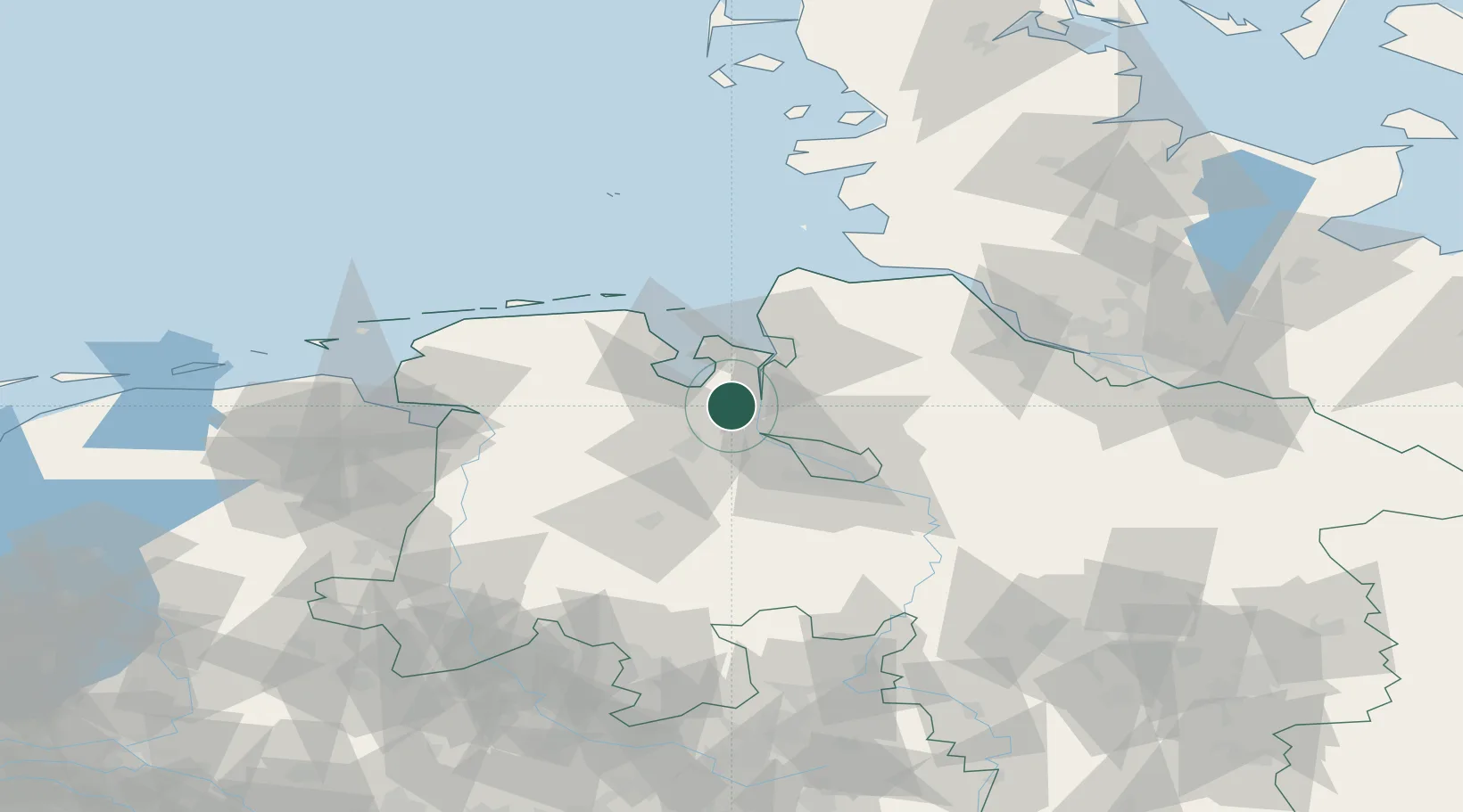
Location
Nearby Logistics Neighbours
Cities
- 1Ovelgönne2 km
- 2Brake7 km
- 3Rodenkirchen9 km
- 4Elsfleth12 km
- 5Rastede15 km
Ports
- 1Brake7 km
- 2Elsfleth12 km
- 3Nordenham18 km
- 4Bremerhaven26 km
- 5Wilhelmshaven27 km
Airports
Trade Zones
DatabookThe Record of Consolidated Knowledge
Germany beyond logistics?