UN/LOCODE hub · Germany
DEBLM

Blumenthal/Bremen

53.1833°, 8.5833°
2
Transport functions

Transport Functions

Port
Road
UN/LOCODE

Hub Profile

Region
HB
GeoNames

Location

Location of DEBLM
Natural Earth 10m (public domain) · HB · DEBLM · 53.18, 8.58GoogleOSMYandex

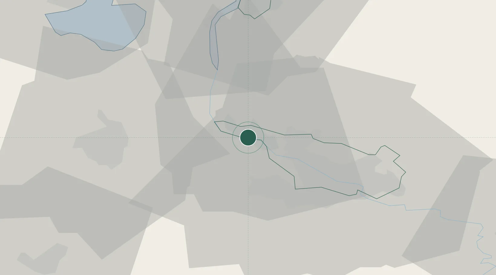
Nearby Logistics Neighbours

Cities
  1. 1Motzen2 km
  2. 2Lemwerder3 km
  3. 3Mittelsbüren8 km
  4. 4Elsfleth10 km
  5. 5Oslebshausen11 km
Nearest neighbours — logibook spatial index (haversine) over the source coordinates
Ports
  1. 1Elsfleth10 km
  2. 2Bremen13 km
  3. 3Brake18 km
  4. 4Oldenburg26 km
  5. 5Nordenham34 km
Nearest neighbours — logibook spatial index (haversine) over the source coordinates
Airports
  1. 1Bremen Airport21 km
  2. 2Sea-Airport Cuxhaven/Nordholz / Nordholz Naval Airbase65 km
  3. 3Diepholz Air Base68 km
  4. 4Wittmundhafen Air Base73 km
  5. 5Harlesiel Airfield77 km
Nearest neighbours — logibook spatial index (haversine) over the source coordinates
Trade Zones
  1. 1Freeport of Bremerhaven (Freihafen Bremerhaven)16 km
  2. 2Freeport of Cuxhaven (Freihafen Cuxhaven)71 km
  3. 3Freeport of Emden94 km
  4. 4Freeport of Kiel165 km
  5. 5Freeport of Duisburg236 km
Nearest neighbours — logibook spatial index (haversine) over the source coordinates
DatabookThe Record of Consolidated Knowledge
Germany beyond logistics?
Browse databook

All Sources

LocationsUN/LOCODE
UN/LOCODE — free
Portsthe NGA World Port Index
Public domain (US gov)
AirportsOurAirports
Public domain
Trade Zonesthe World Bank SEZ database
CC BY 4.0
Trade ZonesOpen Zone Map
CC BY
← Germany locations