Transport Functions
Port
Rail
Road
Hub Profile
Place type
Populated place
Region
Lower Saxony
Time zone
Europe/Berlin
Elevation
50 m
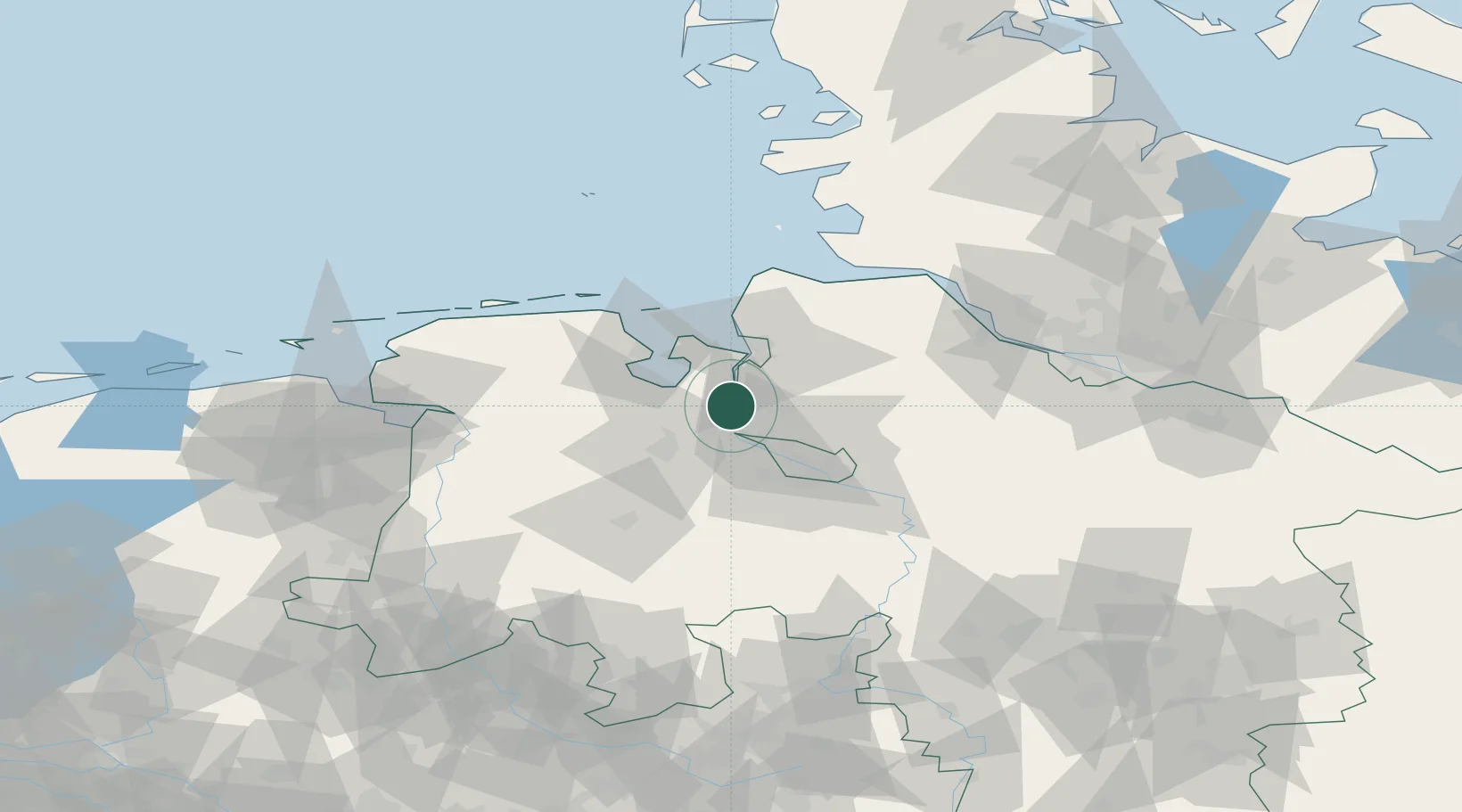
Location
Nearby Logistics Neighbours
Cities
- 1Ovelgönne6 km
- 2Strückhausen7 km
- 3Rodenkirchen8 km
- 4Elsfleth11 km
- 5Oldendorf13 km
Ports
- 1Elsfleth11 km
- 2Nordenham17 km
- 3Bremerhaven23 km
- 4Bremen29 km
- 5Oldenburg30 km
Airports
Trade Zones
DatabookThe Record of Consolidated Knowledge
Germany beyond logistics?