Transport Functions
Rail
Road
Hub Profile
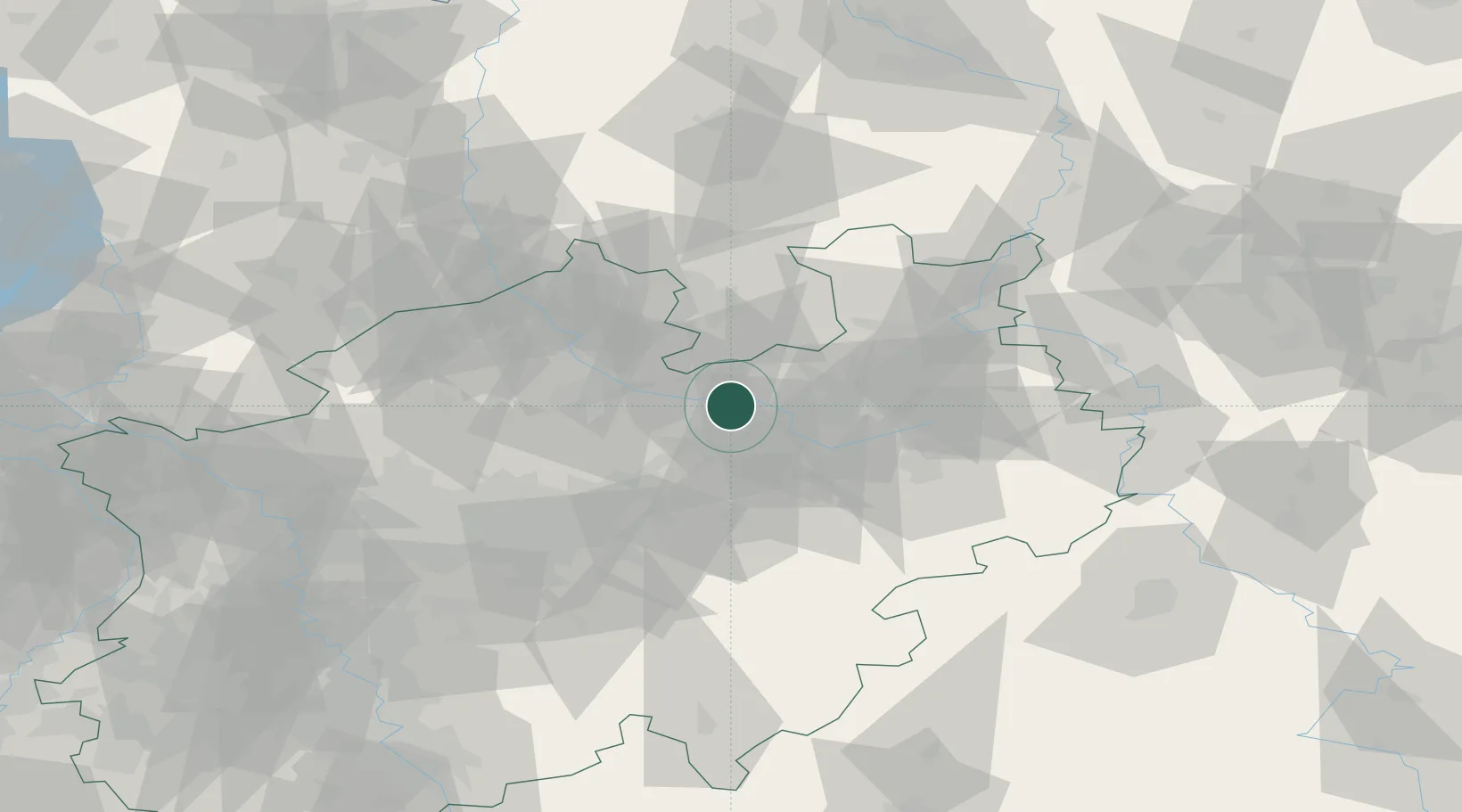
Place type
Local administrative seat
Region
North Rhine-Westphalia
Population
6,344
Time zone
Europe/Berlin
Elevation
60 m
Location
Nearby Logistics Neighbours
Cities
- 1Clarholz5 km
- 2Marienfeld10 km
- 3Herzebrock11 km
- 4Beckum21 km
- 5Rosendahl22 km
Airports
- 1Bielefeld Airport30 km
- 2Münster Osnabrück Airport37 km
- 3Paderborn Lippstadt Airport50 km
- 4Dortmund Airport58 km
- 5Diepholz Air Base74 km
Trade Zones
DatabookThe Record of Consolidated Knowledge
Germany beyond logistics?