Transport Functions
Road
Multimodal
Hub Profile
Place type
Populated place
Region
Lower Saxony
Time zone
Europe/Berlin
Elevation
43 m
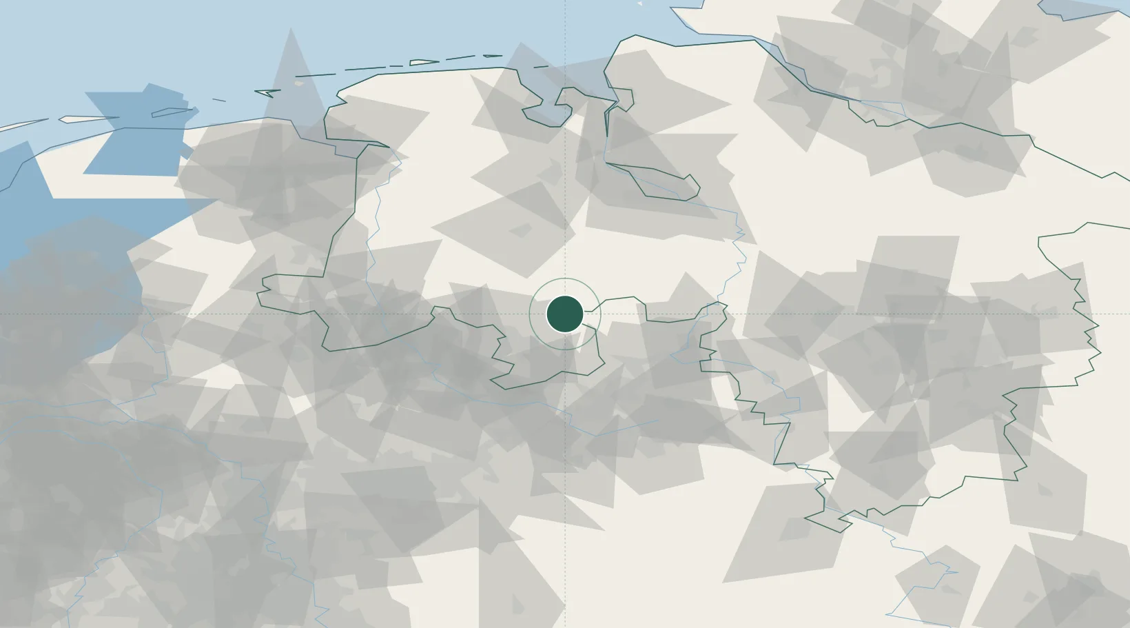
Location
Nearby Logistics Neighbours
Airports
- 1Diepholz Air Base17 km
- 2Münster Osnabrück Airport52 km
- 3Bielefeld Airport55 km
- 4Bückeburg Air Base57 km
- 5Bremen Airport76 km
Trade Zones
DatabookThe Record of Consolidated Knowledge
Germany beyond logistics?