Transport Functions
Port
Rail
Road
Hub Profile
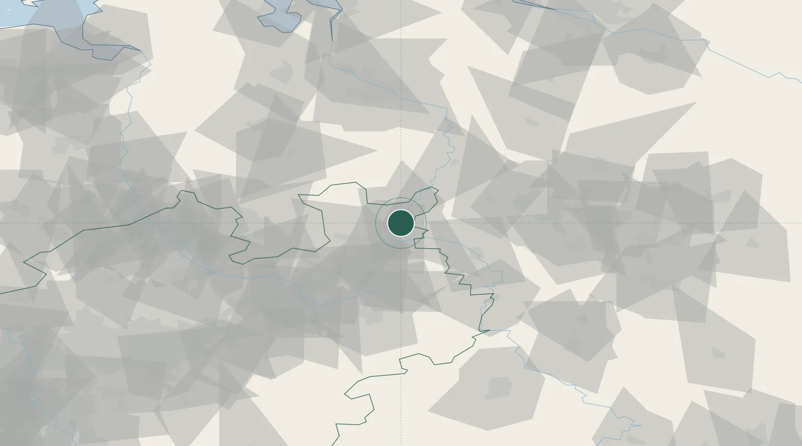
Place type
District seat
Region
North Rhine-Westphalia
Population
82,879
Time zone
Europe/Berlin
Elevation
59 m
Logistics facilities
1
Location
Nearby Logistics Neighbours
Cities
- 1Berenbusch6 km
- 2Bückeburg9 km
- 3Lahde11 km
- 4Rusbend11 km
- 5Luhden14 km
Airports
- 1Bückeburg Air Base12 km
- 2Wunstorf Air Base40 km
- 3Bielefeld Airport43 km
- 4Diepholz Air Base51 km
- 5Hannover Airport56 km
Trade Zones
DatabookThe Record of Consolidated Knowledge
Germany beyond logistics?