UN/LOCODE hub · Germany
DEJSN

Jössen

52.4000°, 9.0000°
3
Transport functions

Transport Functions

Port
Rail
Road
UN/LOCODE

Hub Profile

Region
NW
GeoNames

Location

Location of DEJSN
Natural Earth 10m (public domain) · NW · DEJSN · 52.40, 9.00GoogleOSMYandex

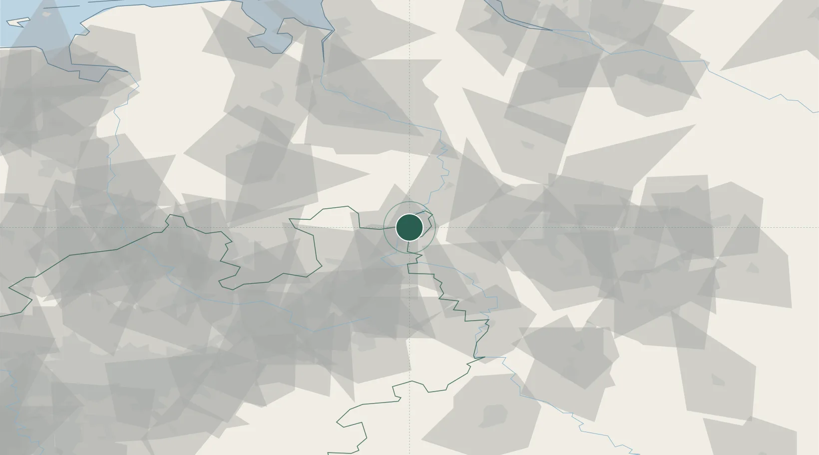
Nearby Logistics Neighbours

Cities
  1. 1Windheim1 km
  2. 2Lahde4 km
  3. 3Rusbend10 km
  4. 4Berenbusch11 km
  5. 5Pollhagen14 km
Nearest neighbours — logibook spatial index (haversine) over the source coordinates
Ports
  1. 1Bremen83 km
  2. 2Oldenburg96 km
  3. 3Elsfleth99 km
  4. 4Brake109 km
  5. 5Nordenham125 km
Nearest neighbours — logibook spatial index (haversine) over the source coordinates
Airports
  1. 1Bückeburg Air Base15 km
  2. 2Wunstorf Air Base30 km
  3. 3Hannover Airport47 km
  4. 4Diepholz Air Base49 km
  5. 5Bielefeld Airport58 km
Nearest neighbours — logibook spatial index (haversine) over the source coordinates
Trade Zones
  1. 1Freeport of Bremerhaven (Freihafen Bremerhaven)78 km
  2. 2Freeport of Emden160 km
  3. 3Freeport of Cuxhaven (Freihafen Cuxhaven)161 km
  4. 4Freeport of Duisburg197 km
  5. 5Freeport of Kiel229 km
Nearest neighbours — logibook spatial index (haversine) over the source coordinates
DatabookThe Record of Consolidated Knowledge
Germany beyond logistics?
Browse databook

All Sources

LocationsUN/LOCODE
UN/LOCODE — free
Portsthe NGA World Port Index
Public domain (US gov)
AirportsOurAirports
Public domain
Trade Zonesthe World Bank SEZ database
CC BY 4.0
Trade ZonesOpen Zone Map
CC BY
← Germany locations