Transport Functions
Rail
Road
Multimodal
Hub Profile
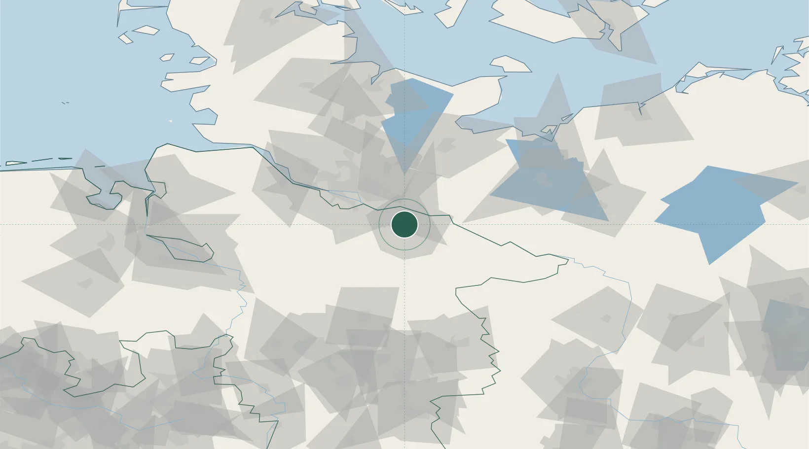
Place type
Local administrative seat
Region
Lower Saxony
Population
6,026
Time zone
Europe/Berlin
Elevation
10 m
Location
Nearby Logistics Neighbours
Cities
- 1Mechtersen5 km
- 2Lüneburg6 km
- 3Radbruch7 km
- 4Scharnebeck9 km
- 5Rullstorf10 km
Ports
- 1Hamburg41 km
- 2Lubeck68 km
- 3Butzfleth69 km
- 4Lubeck-Travemunde81 km
- 5Gluckstadt84 km
Airports
Trade Zones
DatabookThe Record of Consolidated Knowledge
Germany beyond logistics?