UN/LOCODE hub · Germany
DEWBL

Wolfenbüttel

52.1667°, 10.5500°
2
Transport functions

Transport Functions

Rail
Road
UN/LOCODE

Hub Profile

Region
NI
GeoNames

Location

Location of DEWBL
Natural Earth 10m (public domain) · NI · DEWBL · 52.17, 10.55GoogleOSMYandex

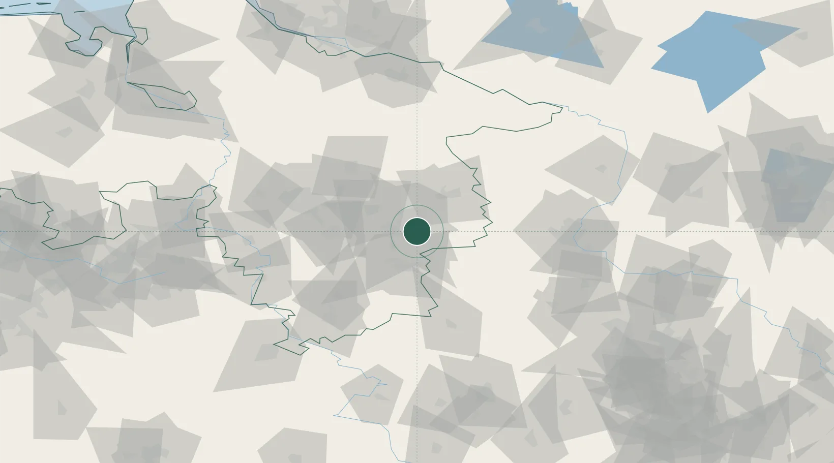
Nearby Logistics Neighbours

Cities
  1. 1Beddingen9 km
  2. 2Cremlingen12 km
  3. 3Braunschweig12 km
  4. 4Wedtlenstedt14 km
  5. 5Salzgitter16 km
Nearest neighbours — logibook spatial index (haversine) over the source coordinates
Ports
  1. 1Hamburg159 km
  2. 2Bremen161 km
  3. 3Butzfleth179 km
  4. 4Elsfleth184 km
  5. 5Oldenburg190 km
Nearest neighbours — logibook spatial index (haversine) over the source coordinates
Airports
  1. 1Braunschweig-Wolfsburg Airport17 km
  2. 2Celle Army Airfield59 km
  3. 3Hannover Airport67 km
  4. 4Wunstorf Air Base83 km
  5. 5Faßberg Air Base87 km
Nearest neighbours — logibook spatial index (haversine) over the source coordinates
Trade Zones
  1. 1Freeport of Bremerhaven (Freihafen Bremerhaven)158 km
  2. 2Freeport of Cuxhaven (Freihafen Cuxhaven)227 km
  3. 3Freeport of Kiel242 km
  4. 4Freeport of Emden261 km
  5. 5Kostrzyń-Słubice SEZ282 km
Nearest neighbours — logibook spatial index (haversine) over the source coordinates
DatabookThe Record of Consolidated Knowledge
Germany beyond logistics?
Browse databook

All Sources

LocationsUN/LOCODE
UN/LOCODE — free
Portsthe NGA World Port Index
Public domain (US gov)
AirportsOurAirports
Public domain
Trade Zonesthe World Bank SEZ database
CC BY 4.0
Trade ZonesOpen Zone Map
CC BY
← Germany locations