Transport Functions
Road
Multimodal
Hub Profile
Place type
Local administrative seat
Region
Rheinland-Pfalz
Population
732
Time zone
Europe/Berlin
Elevation
225 m
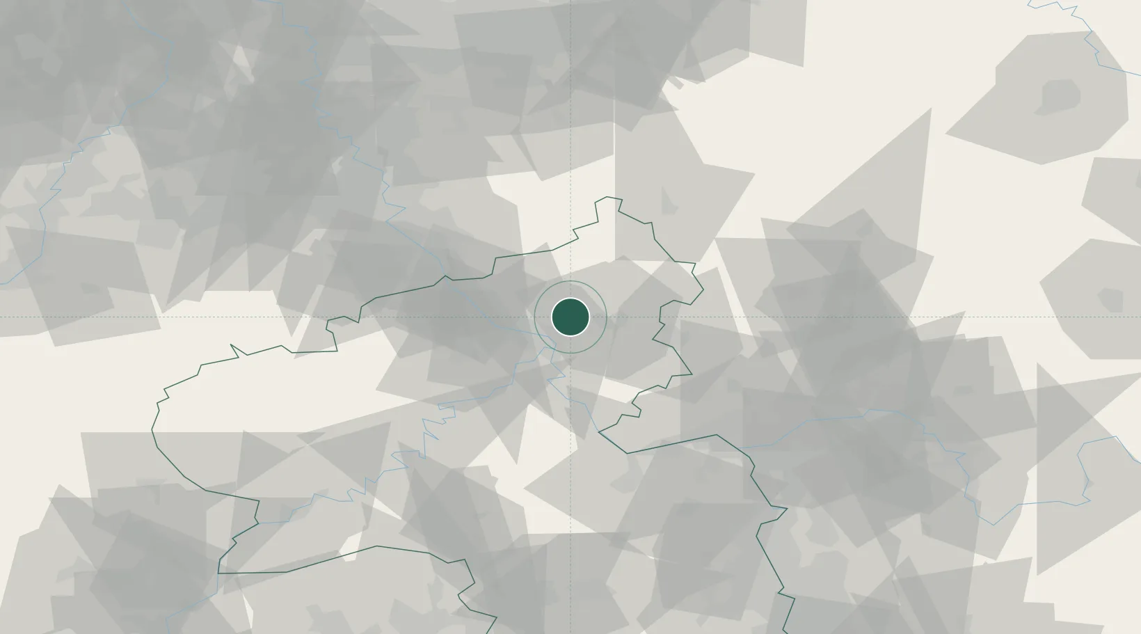
Location
Nearby Logistics Neighbours
Cities
- 1Hundsdorf3 km
- 2Nauort3 km
- 3Hilgert4 km
- 4Ransbach-Baumbach5 km
- 5Kleinmaischeid5 km
Airports
- 1Siegerland Airport39 km
- 2Büchel Air Base55 km
- 3Cologne Bonn Airport56 km
- 4Frankfurt-Hahn Airport66 km
- 5Mainz-Finthen Airfield67 km
Trade Zones
- 1Rheinische Revier SWZ102 km
- 2Freeport of Duisburg131 km
- 3Luxembourg Free Port139 km
- 4ZFU La Cité Behren-lès-Forbach156 km
- 5ZFU Woippy-Metz184 km
DatabookThe Record of Consolidated Knowledge
Germany beyond logistics?