Transport Functions
Road
Multimodal
Hub Profile
Place type
Locality
Region
North Rhine-Westphalia
Time zone
Europe/Berlin
Elevation
47 m
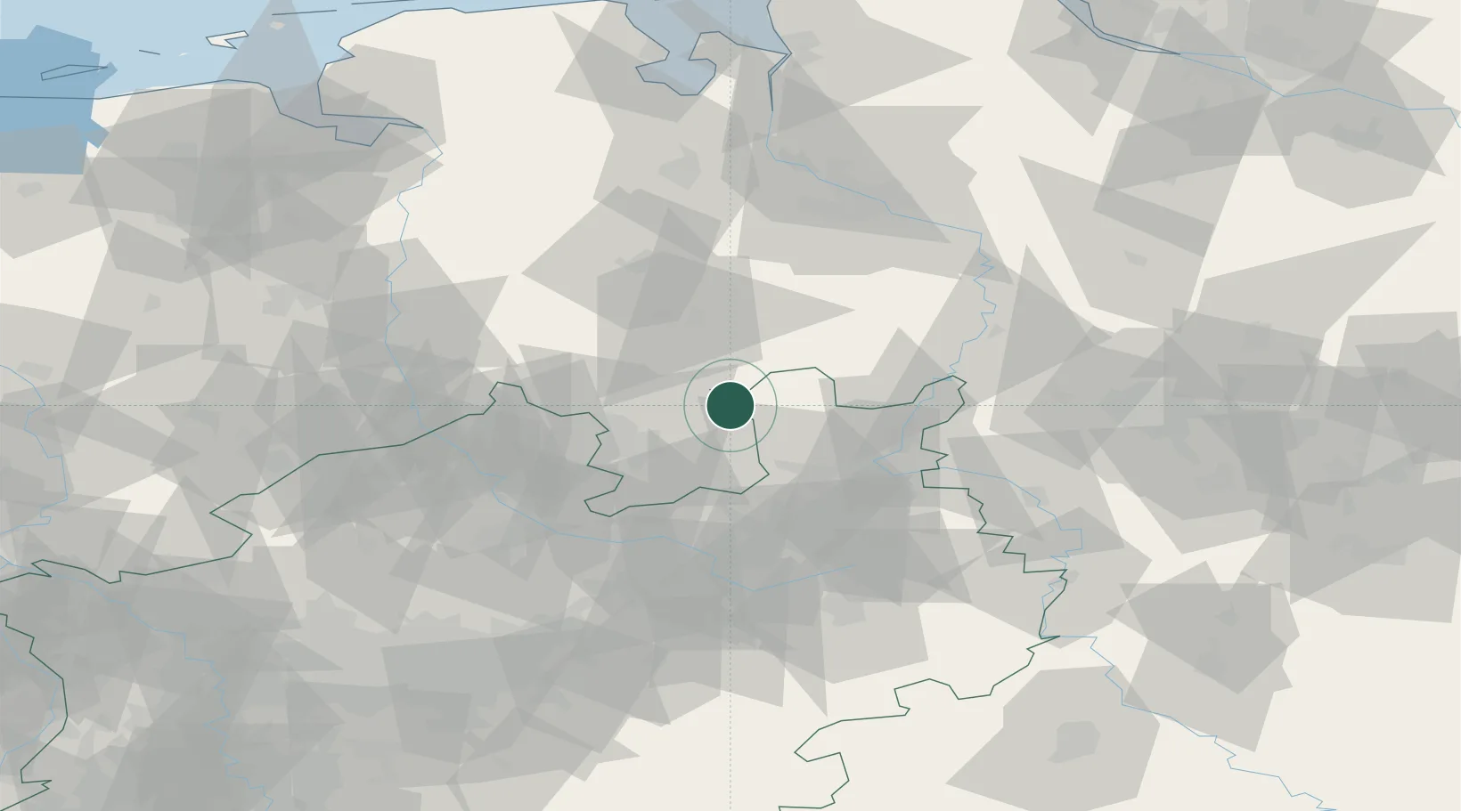
Location
Nearby Logistics Neighbours
Airports
- 1Diepholz Air Base21 km
- 2Bielefeld Airport50 km
- 3Bückeburg Air Base51 km
- 4Münster Osnabrück Airport55 km
- 5Wunstorf Air Base72 km
Trade Zones
DatabookThe Record of Consolidated Knowledge
Germany beyond logistics?