UN/LOCODE hub · Germany
DEPKL

Panketal

52.6333°, 13.5500°
1
Transport functions

Transport Functions

Multimodal
UN/LOCODE

Hub Profile

Region
BB
GeoNames

Location

Location of DEPKL
Natural Earth 10m (public domain) · BB · DEPKL · 52.63, 13.55GoogleOSMYandex

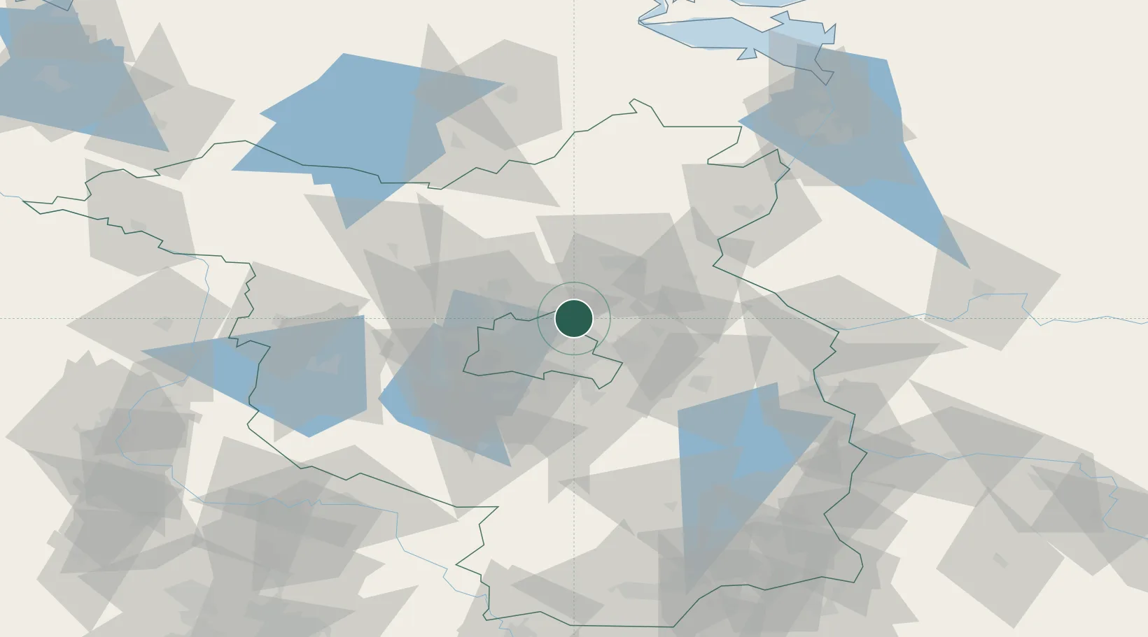
Nearby Logistics Neighbours

Cities
  1. 1Bernau4 km
  2. 2Ahrensfelde6 km
  3. 3Willmersdorf10 km
  4. 4Blankenfelde11 km
  5. 5Mühlenbeck13 km
Nearest neighbours — logibook spatial index (haversine) over the source coordinates
Ports
  1. 1Szczecin110 km
  2. 2Police124 km
  3. 3Swinoujscie150 km
  4. 4Wolgast158 km
  5. 5Rostock188 km
Nearest neighbours — logibook spatial index (haversine) over the source coordinates
Airports
  1. 1Berlin Brandenburg Airport30 km
  2. 2Holzdorf Air Base100 km
  3. 3Neubrandenburg Trollenhagen Airport109 km
  4. 4Zerbst Airfield118 km
  5. 5Solidarity Szczecin–Goleniów Airport139 km
Nearest neighbours — logibook spatial index (haversine) over the source coordinates
Trade Zones
  1. 1Kostrzyń-Słubice SEZ74 km
  2. 2Szczecin Duty Free Zone111 km
  3. 3Swinoujscie Duty Free Zone149 km
  4. 4Legnica SEZ (Legnicka SSE)222 km
  5. 5Most - Joseph Industrial Zone239 km
Nearest neighbours — logibook spatial index (haversine) over the source coordinates
DatabookThe Record of Consolidated Knowledge
Germany beyond logistics?
Browse databook

All Sources

LocationsUN/LOCODE
UN/LOCODE — free
Portsthe NGA World Port Index
Public domain (US gov)
AirportsOurAirports
Public domain
Trade Zonesthe World Bank SEZ database
CC BY 4.0
Trade ZonesOpen Zone Map
CC BY
← Germany locations