Transport Functions
Port
Rail
Road
Hub Profile
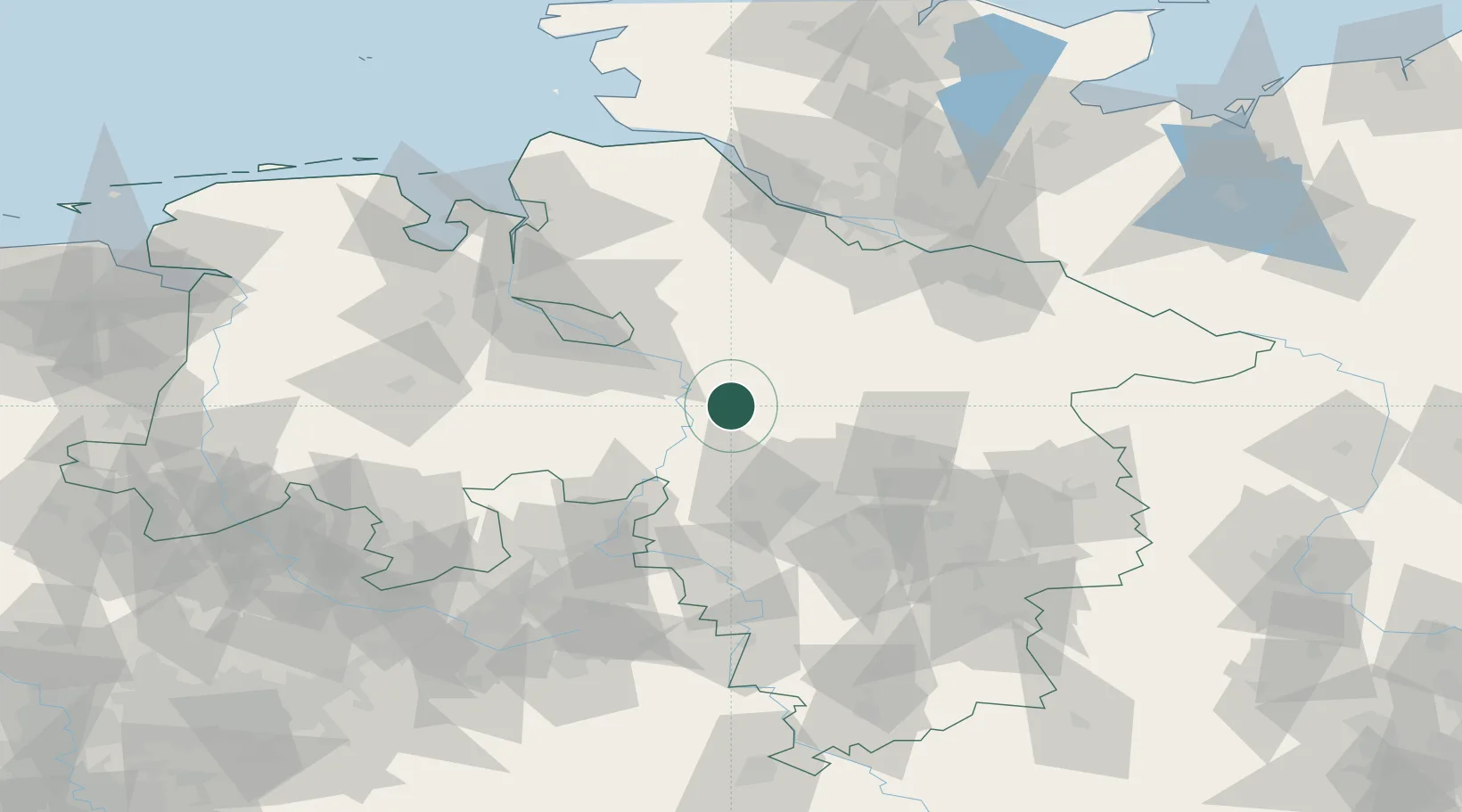
Place type
Populated place
Region
Lower Saxony
Population
2,478
Time zone
Europe/Berlin
Elevation
19 m
Location
Nearby Logistics Neighbours
Cities
- 1Häuslingen2 km
- 2Ahlden11 km
- 3Dörverden13 km
- 4Schweringen14 km
- 5Walsrode17 km
Airports
- 1Wunstorf Air Base36 km
- 2Hannover Airport41 km
- 3Celle Army Airfield48 km
- 4Bremen Airport49 km
- 5Faßberg Air Base56 km
Trade Zones
DatabookThe Record of Consolidated Knowledge
Germany beyond logistics?