Transport Functions
Multimodal
Hub Profile
Region
MO
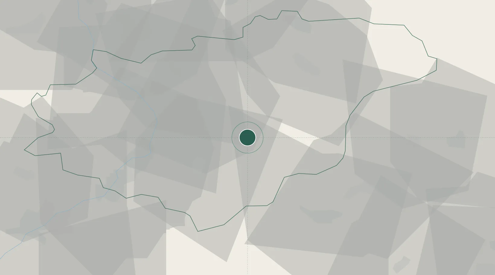
Location
Nearby Logistics Neighbours
Cities
- 1Dolní Lhota1 km
- 2Brezuvky8 km
- 3Ujezd8 km
- 4Zlin10 km
- 5Zelechovice nad Drevnicí10 km
Ports
- 1Monfalcone491 km
- 2Bakar492 km
- 3Trieste493 km
- 4Rijeka Luka493 km
- 5Muggia497 km
Airports
- 1Kunovice Airport29 km
- 2Přerov Air Base43 km
- 3Piešťany Airport57 km
- 4Žilina-Dolný Hričov Airport60 km
- 5Leoš Janáček Airport Ostrava67 km
Trade Zones
DatabookThe Record of Consolidated Knowledge
Czechia beyond logistics?