Transport Functions
Rail
Road
Hub Profile
Place type
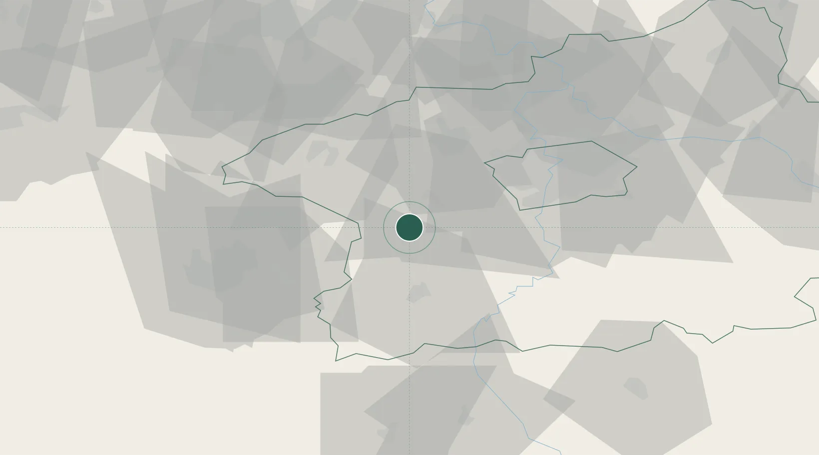
Populated place
Region
Central Bohemia
Population
4,047
Time zone
Europe/Prague
Elevation
263 m
Location
Nearby Logistics Neighbours
Cities
- 1Lochovice6 km
- 2Kraluv Dvur6 km
- 3Horovice8 km
- 4Vseradice10 km
- 5Cerhovice12 km
Ports
- 1Szczecin393 km
- 2Police410 km
- 3Swinoujscie447 km
- 4Monfalcone459 km
- 5Nogaro465 km
Airports
- 1Václav Havel Airport Prague30 km
- 2Vodochody Airport46 km
- 3Prague–Kbely Air Base47 km
- 4Plzeň-Líně Airport57 km
- 5Kostomlaty Airstrip76 km
Trade Zones
DatabookThe Record of Consolidated Knowledge
Czechia beyond logistics?