Transport Functions
Rail
Road
Hub Profile
Place type
Populated place
Region
Central Bohemia
Population
6,431
Time zone
Europe/Prague
Elevation
377 m
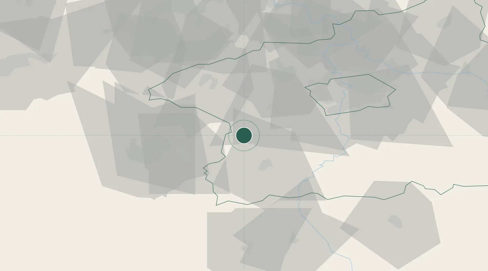
Location
Nearby Logistics Neighbours
Ports
- 1Szczecin399 km
- 2Police416 km
- 3Swinoujscie453 km
- 4Monfalcone453 km
- 5Nogaro458 km
Airports
- 1Václav Havel Airport Prague38 km
- 2Plzeň-Líně Airport49 km
- 3Vodochody Airport54 km
- 4Prague–Kbely Air Base55 km
- 5Karlovy Vary Airport81 km
Trade Zones
DatabookThe Record of Consolidated Knowledge
Czechia beyond logistics?