Transport Functions
Multimodal
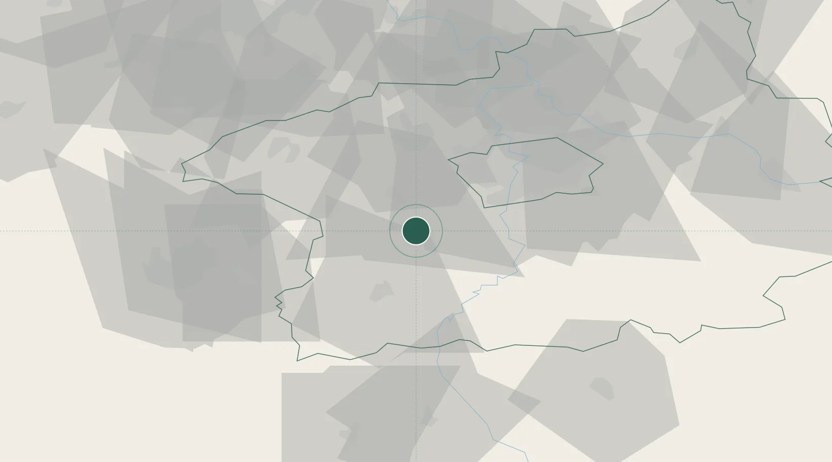
Hub Profile
Place type
Populated place
Region
Central Bohemia
Population
396
Time zone
Europe/Prague
Elevation
345 m
Location
Nearby Logistics Neighbours
Cities
- 1Kraluv Dvur7 km
- 2Zdice10 km
- 3Lochovice10 km
- 4Vraz11 km
- 5Dobris12 km
Ports
- 1Szczecin394 km
- 2Police411 km
- 3Swinoujscie449 km
- 4Monfalcone458 km
- 5Nogaro464 km
Airports
- 1Václav Havel Airport Prague26 km
- 2Prague–Kbely Air Base40 km
- 3Vodochody Airport42 km
- 4Plzeň-Líně Airport65 km
- 5Kostomlaty Airstrip68 km
Trade Zones
DatabookThe Record of Consolidated Knowledge
Czechia beyond logistics?