UN/LOCODE hub · Czechia
CZZCD

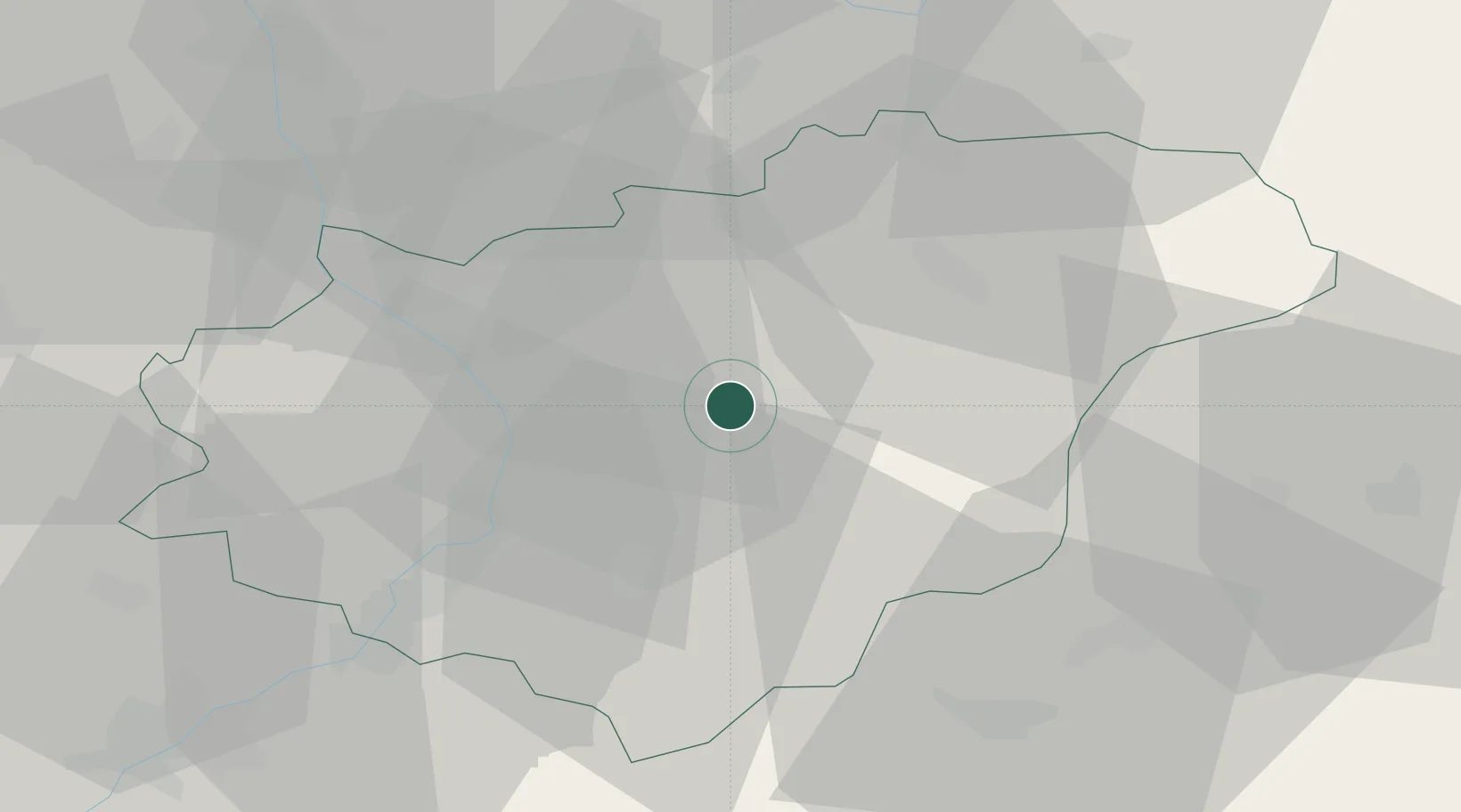
Zelechovice nad Drevnicí

49.2167°, 17.7500°
1,859
Population
2
Transport functions

Transport Functions

Rail
Road
UN/LOCODE

Hub Profile

Place type
Populated place
GeoNames
Region
Zlín
GeoNames
Population
1,859
GeoNames
Time zone
Europe/Prague
GeoNames
Elevation
244 m
GeoNames

Location

Location of CZZCD
Natural Earth 10m (public domain) · Zlín · CZZCD · 49.22, 17.75GoogleOSMYandex

Nearby Logistics Neighbours

Cities
  1. 1Zlin1 km
  2. 2Brezuvky8 km
  3. 3Frystak10 km
  4. 4Dolni Lhota u Luhacovic10 km
  5. 5Dolní Lhota11 km
Nearest neighbours — logibook spatial index (haversine) over the source coordinates
Ports
  1. 1Monfalcone495 km
  2. 2Trieste498 km
  3. 3Bakar499 km
  4. 4Rijeka Luka499 km
  5. 5Muggia501 km
Nearest neighbours — logibook spatial index (haversine) over the source coordinates
Airports
  1. 1Kunovice Airport31 km
  2. 2Přerov Air Base34 km
  3. 3Leoš Janáček Airport Ostrava59 km
  4. 4Žilina-Dolný Hričov Airport63 km
  5. 5Piešťany Airport66 km
Nearest neighbours — logibook spatial index (haversine) over the source coordinates
Trade Zones
  1. 1Holešov Industrial Zone20 km
  2. 2Veselí nad Moravou Industrial Zone40 km
  3. 3Mošnov Development Area59 km
  4. 4Černovická Terasa Industrial Zone78 km
  5. 5Bruntál Industrial Zone90 km
Nearest neighbours — logibook spatial index (haversine) over the source coordinates
DatabookThe Record of Consolidated Knowledge
Czechia beyond logistics?
Browse databook

All Sources

LocationsUN/LOCODE
UN/LOCODE — free
LocationsGeoNames
CC BY 4.0
Portsthe NGA World Port Index
Public domain (US gov)
AirportsOurAirports
Public domain
Trade Zonesthe World Bank SEZ database
CC BY 4.0
Trade ZonesOpen Zone Map
CC BY
← Czechia locations