Transport Functions
Multimodal
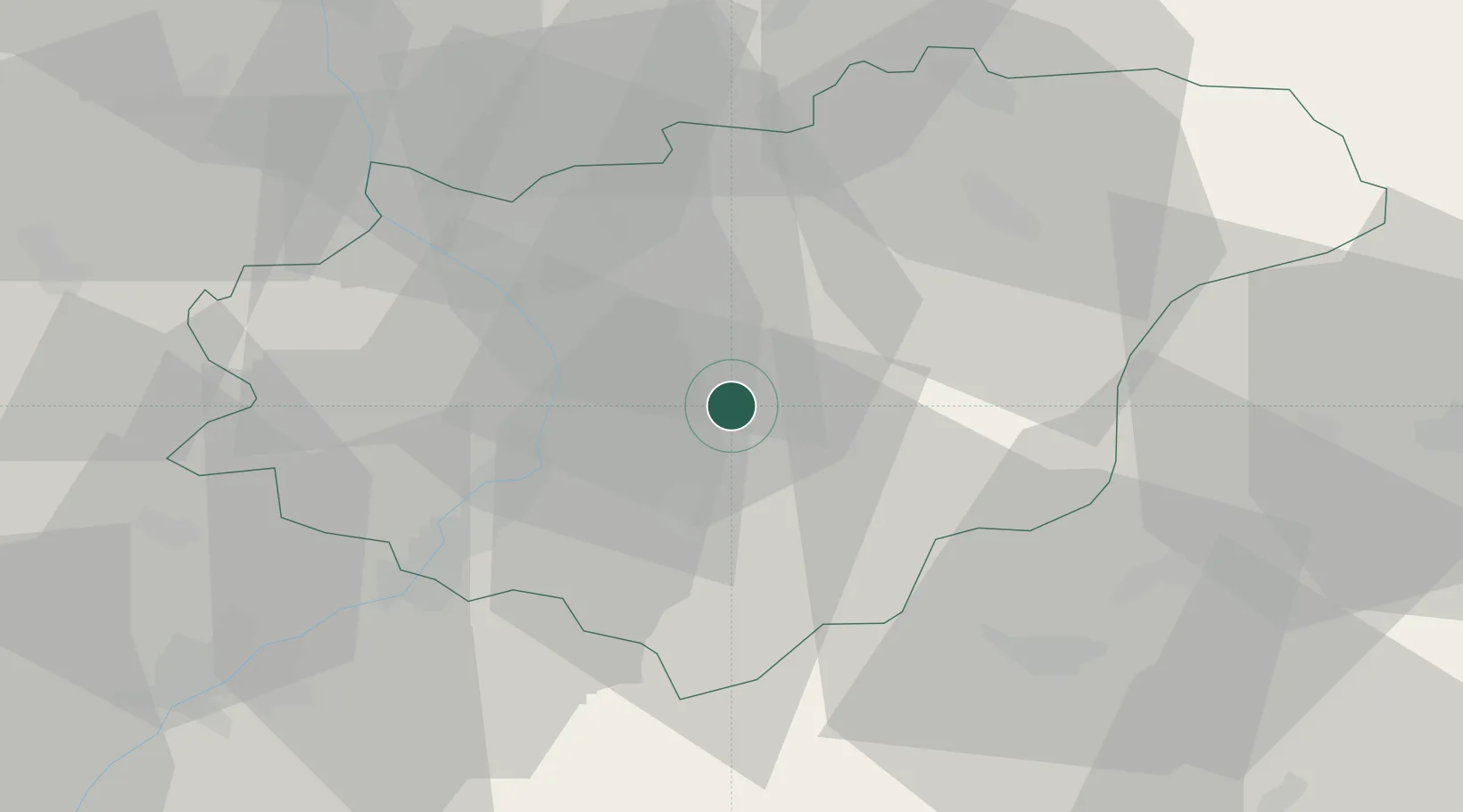
Hub Profile
Place type
Populated place
Region
Zlín
Population
642
Time zone
Europe/Prague
Elevation
348 m
Location
Nearby Logistics Neighbours
Cities
- 1Kelniky5 km
- 2Dobrkovice6 km
- 3Dolni Lhota u Luhacovic8 km
- 4Zelechovice nad Drevnicí8 km
- 5Brezolupy9 km
Ports
- 1Monfalcone487 km
- 2Trieste490 km
- 3Bakar490 km
- 4Rijeka Luka491 km
- 5Muggia493 km
Airports
- 1Kunovice Airport23 km
- 2Přerov Air Base37 km
- 3Piešťany Airport59 km
- 4Žilina-Dolný Hričov Airport67 km
- 5Leoš Janáček Airport Ostrava68 km
Trade Zones
DatabookThe Record of Consolidated Knowledge
Czechia beyond logistics?