Transport Functions
Multimodal
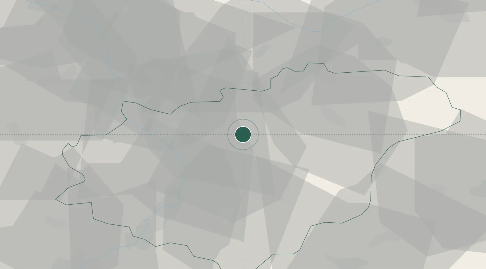
Hub Profile
Place type
Populated place
Region
Zlín
Population
3,540
Time zone
Europe/Prague
Elevation
269 m
Location
Nearby Logistics Neighbours
Cities
- 1Zelechovice nad Drevnicí10 km
- 2Zlin10 km
- 3Bystrice pod Hostýnem11 km
- 4Myslocovice12 km
- 5Tlumacov16 km
Ports
- 1Monfalcone500 km
- 2Trieste503 km
- 3Bakar505 km
- 4Rijeka Luka505 km
- 5Muggia507 km
Airports
- 1Přerov Air Base26 km
- 2Kunovice Airport36 km
- 3Leoš Janáček Airport Ostrava53 km
- 4Žilina-Dolný Hričov Airport67 km
- 5Brno-Tuřany Airport75 km
Trade Zones
DatabookThe Record of Consolidated Knowledge
Czechia beyond logistics?