Transport Functions
Rail
Road
Hub Profile
Place type
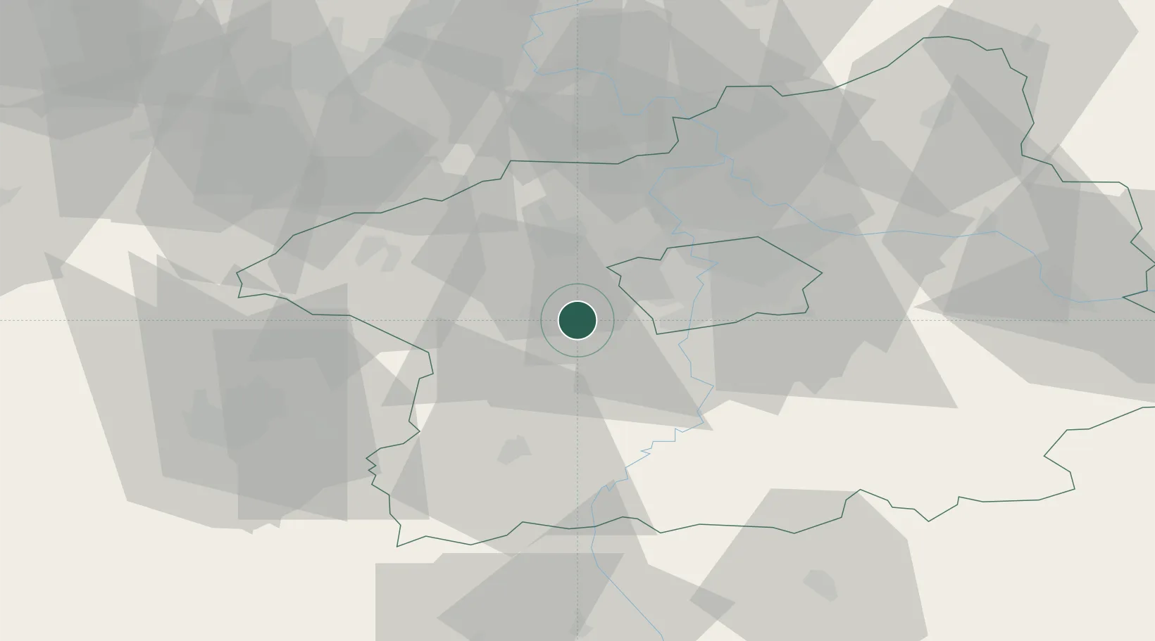
Populated place
Region
Central Bohemia
Population
881
Time zone
Europe/Prague
Elevation
327 m
Location
Nearby Logistics Neighbours
Cities
- 1Kraluv Dvur9 km
- 2Dobric9 km
- 3Chrastany11 km
- 4Vseradice11 km
- 5Jenec12 km
Ports
- 1Szczecin383 km
- 2Police400 km
- 3Swinoujscie437 km
- 4Monfalcone469 km
- 5Wismar473 km
Airports
- 1Václav Havel Airport Prague15 km
- 2Vodochody Airport31 km
- 3Prague–Kbely Air Base32 km
- 4Kostomlaty Airstrip61 km
- 5Plzeň-Líně Airport72 km
Trade Zones
DatabookThe Record of Consolidated Knowledge
Czechia beyond logistics?