Transport Functions
Port
Rail
Road
Hub Profile
Place type
Populated place
Region
Karlovarský kraj
Population
3,732
Time zone
Europe/Prague
Elevation
615 m
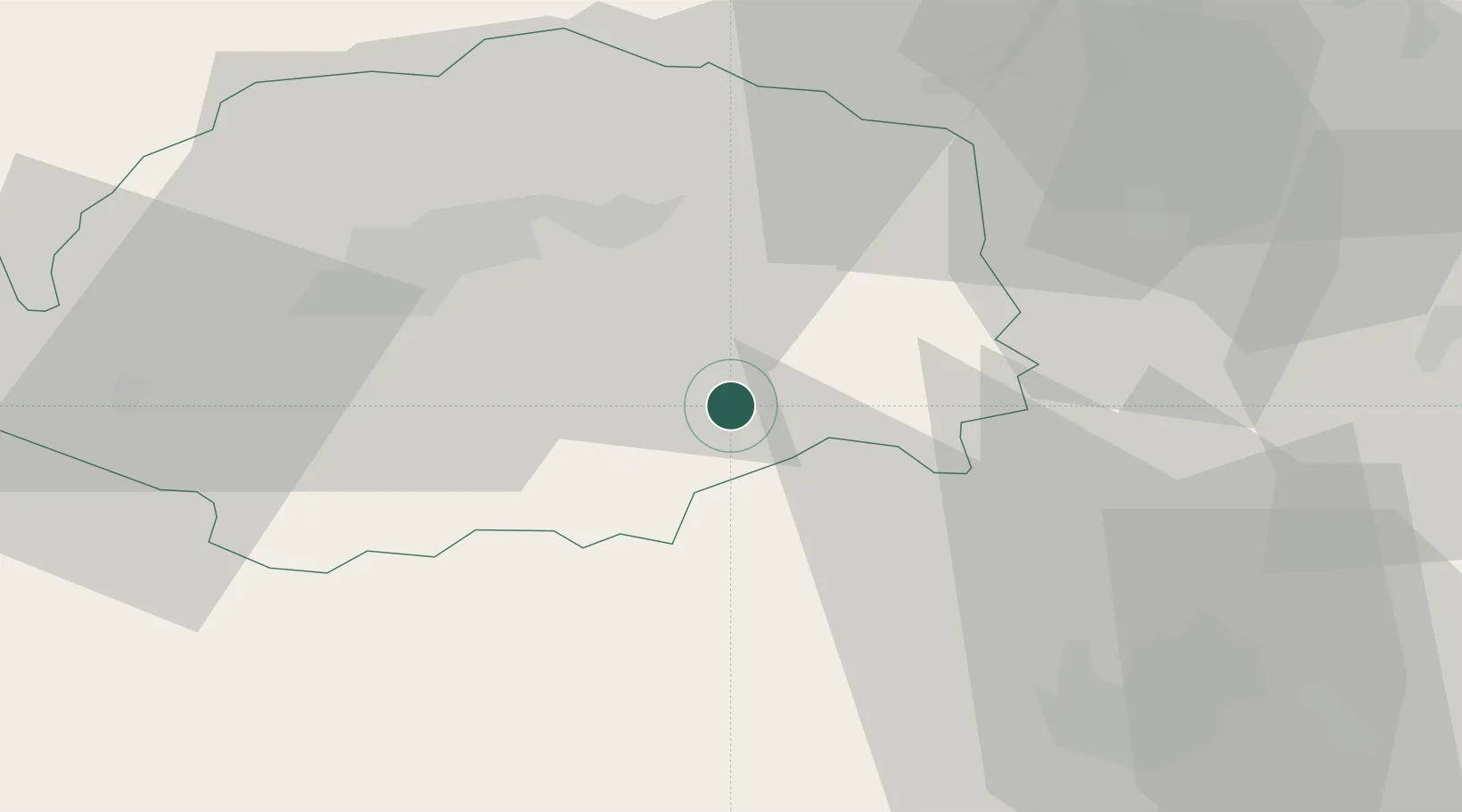
Location
Nearby Logistics Neighbours
Cities
- 1Kyselka14 km
- 2Horní Slavkov16 km
- 3Dalovice21 km
- 4Stará Role22 km
- 5Mariánské Lázne23 km
Ports
- 1Szczecin388 km
- 2Police404 km
- 3Swinoujscie437 km
- 4Wismar439 km
- 5Hamburg440 km
Airports
- 1Karlovy Vary Airport16 km
- 2Plzeň-Líně Airport48 km
- 3Hof-Plauen Airport84 km
- 4Grafenwöhr Army Air Field85 km
- 5Václav Havel Airport Prague91 km
Trade Zones
DatabookThe Record of Consolidated Knowledge
Czechia beyond logistics?