UN/LOCODE hub · Czechia
CZSNN
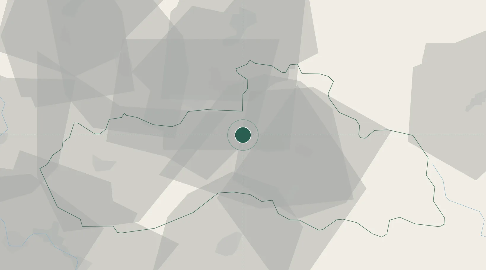
Stráz nad Nisou
50.7833°, 14.9833°
2,430
Population
2
Transport functions
Transport Functions
Rail
Road
Hub Profile
Place type
Populated place
Region
Liberecký kraj
Population
2,430
Time zone
Europe/Prague
Elevation
362 m
Location
Nearby Logistics Neighbours
Cities
- 1Chrastava4 km
- 2Bogatynia13 km
- 3Hodkovice nad Mohelkou16 km
- 4Olbersdorf19 km
- 5Smrzovka20 km
Ports
- 1Szczecin294 km
- 2Police311 km
- 3Swinoujscie352 km
- 4Wolgast372 km
- 5Kolobrzeg384 km
Airports
- 1Kostomlaty Airstrip64 km
- 2Rothenburg/Görlitz Airfield65 km
- 3Vodochody Airport76 km
- 4Prague–Kbely Air Base80 km
- 5Václav Havel Airport Prague92 km
Trade Zones
DatabookThe Record of Consolidated Knowledge
Czechia beyond logistics?